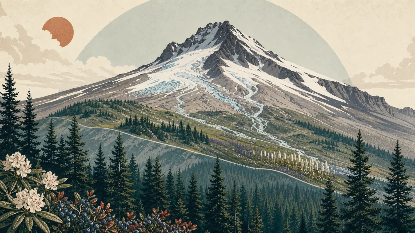
Mount Hood field guide: alpine meadows, glacial streams, and Timberline Trail
A compact Mount Hood field guide tracing Oregon's Cascade volcano from Douglas-fir forest and subalpine wildflowers to glacial stream crossings, treeline wildlife cues, and the split between Timberline Trail backpacking and technical summit climbing.

Mount Hood compresses a Cascade volcano into one clean field-guide problem: forest, meadow, glacier-fed water, and technical summit terrain sit close together, but they do not ask the same thing from a hiker. The mountain reaches 11,240 feet, is classified by USGS as an andesite-to-dacite stratovolcano, and still carries a very high volcanic threat rating. 1
Field card
| Read this first | Mount Hood profile |
|---|---|
| Mountain / range | Mount Hood is Oregon's highest peak at 11,240 feet and a Cascade Range stratovolcano. 1 |
| Forest setting | Mount Hood National Forest surrounds the peak with wilderness, forested slopes, alpine meadows, glacial creeks, waterfalls, and the 38-to-40-mile Timberline Trail around the mountain. 2 3 |
| Geologic character | The volcano has erupted episodically for about 500,000 years; its last eruptive period began in AD 1781 and affected the White River and Sandy River valleys. 1 |
| Representative route | Timberline Trail #600 circumnavigates Mount Hood near treeline, crossing alpine meadows, west-side Cascade forest, waterfalls, and glacially fed drainages. 3 |
| Difficulty | Timberline Trail: strenuous backpacking mainly because of distance, snowfields, blowdown, washouts, and fast glacial fords. Summit routes: technical climbing only, with no hiking trail to the summit. 3 4 |
| Best season | Timberline Trail is listed for July through October; Cooper Spur wildflowers are best in late summer, while most summit routes are most popular in late spring and early summer before late-season rockfall increases. 3 5 4 |
Elevation cross-section: forest to ice cap
The lower mountain begins in classic west-side Cascade forest. Mount Hood National Forest describes much of the lower-elevation forest as Douglas-fir with Oregon grape, salal, rhododendron, and huckleberries in the understory. 2 That band gives many approach trails their shaded, enclosed feel before they open toward lava-gray ridges and glacier-fed drainages.
Higher up, the forest thins rather than simply ending. The Cooper Spur route starts near Cloud Cap Inn, climbs through increasingly weathered trees, and passes mountain hemlock, subalpine fir, and occasional twisted whitebark pine before reaching snow-laden rock fields above timberline. 5 This is the band where Mount Hood starts to feel less like a forest hike and more like a volcanic rim.
The Timberline Trail sits in that transition zone. It encircles the mountain at or near treeline, enters the Mount Hood Wilderness, and repeatedly climbs in and out of glacially fed drainages. 3 Newton, Coe, Muddy Fork, Sandy, and White River crossings are often the hardest part of the loop, especially when warm afternoons or rain raise water levels. 3
Above the trail world is the climbing mountain. The Forest Service notes that Mount Hood has 11 active glaciers and that all summit routes are technical, including the south-side route often treated as the standard line. 2 4 Treat treeline as more than a scenery change. It is where route-finding, weather, loose rock, snow, and glacial water begin to set the pace.
Signature plants by zone
The forest band is a huckleberry-and-rhododendron mountain, not just a wall of conifers. Douglas-fir anchors the lower slopes, while Oregon grape, salal, rhododendron, and huckleberries fill the understory named by the Forest Service. 2 In late summer, those shrubs also help explain why the approach trails can feel busier with animals and people foraging the same seasonal edge.
Around Cooper Spur, the plant list becomes more alpine. Dry meadows near Cloud Cap Inn hold glaucous penstemon, lupines, goldenrod, and subalpine mariposa lily. 5 Higher on the same trail, pink mountainheath, rock penstemon, dwarf lupine, and spreading phlox appear across the rocky landscape. 5
Beargrass is a good Mount Hood plant to remember. The Forest Service wildflower page describes beargrass blooming along Cloud Cap Road after the 2008 Gnarl Ridge fire, with plants recolonizing a burned landscape that had held dead trees and ash. 5 For hikers, that makes the east side feel like a lesson in disturbance as much as elevation.
Wildlife cues to watch for
Mount Hood's strongest high-country wildlife cue is sound. The Forest Service tells visitors to listen for the chirps and whistles of pikas and marmots on rocky slopes at treeline. 2 Pikas favor broken rock where they can duck into gaps, while marmots are more visible on open talus or meadow edges; both fit the cold, exposed transition that the Timberline Trail repeatedly crosses.
The rest of the wildlife lesson is restraint. Timberline Trail is designated for viewing wildlife, plants, and scenery, but the same page spends more practical detail on water crossings, snowfields, camping restrictions, and wilderness rules. 3 On this mountain, the most reliable field signs may be small: a whistle from talus, tracks in wet volcanic sand, or the absence of animals in exposed weather.
Best season and route judgment
For backpackers, the Timberline Trail window is July through October. 3 Early in that window, expect lingering snowfields on higher sections and stronger glacial meltwater; the Forest Service notes that morning crossings are generally lower than afternoon crossings when daytime temperatures raise flows. 3 Most backpackers take 3 or 4 days to complete the loop. 3
For summit climbers, the better-known season is earlier. Late spring and early summer are the most popular times for most routes, while late summer and fall bring significant rockfall and more exposed crevasses. 4 The Forest Service also requires a Mount Hood climbing permit for travel above 9,500 feet, and it states plainly that there are no hiking trails to the summit. 4
The field-guide rating splits into three clean tiers: easy-to-moderate day hikes below treeline, strenuous backpacking on the full Timberline loop, and technical mountaineering above the trail system. The mistake is treating them as one continuous hike. Mount Hood lets you move from huckleberry forest to glacier water in a day, but the upper mountain changes the contract.
Hiker takeaway
Mount Hood is best read as a ring, not a ladder. The Timberline Trail shows the mountain sideways: forest, meadow, talus, snowfield, and glacial stream repeat around the cone. The summit route goes upward into a different risk category, where rockfall, crevasses, avalanche terrain, hard snow, and sudden weather matter more than mileage. If you want the ecological field guide, aim for the treeline circuit in its July-to-October window. If you want the summit, plan it as a technical climb, not a harder hike.
相似内容
- 登录后可发表评论。
More from this channel
- Mount Marcy field guide: hardwood forests, boreal spruce-fir, and fragile alpine rock
- Mount Mitchell field guide: red spruce, Fraser fir, and the Black Mountain crest
- Mount San Jacinto field guide: desert gradients, pine forest, and alpine meadows
- Kuwohi field guide: cove hardwoods, spruce-fir ridge, and Andrews Bald
- Olympic Mountains field guide: rain forest, Blue Glacier, and Mount Olympus
- Longs Peak field guide: krummholz, alpine tundra, and the Keyhole Route
- Mount Katahdin field guide: krummholz, alpine tableland, and the Hunt Trail
- Guadalupe Peak field guide: desert scrub, high-country pines, and the Top of Texas trail