3/7/2026 · 15:58
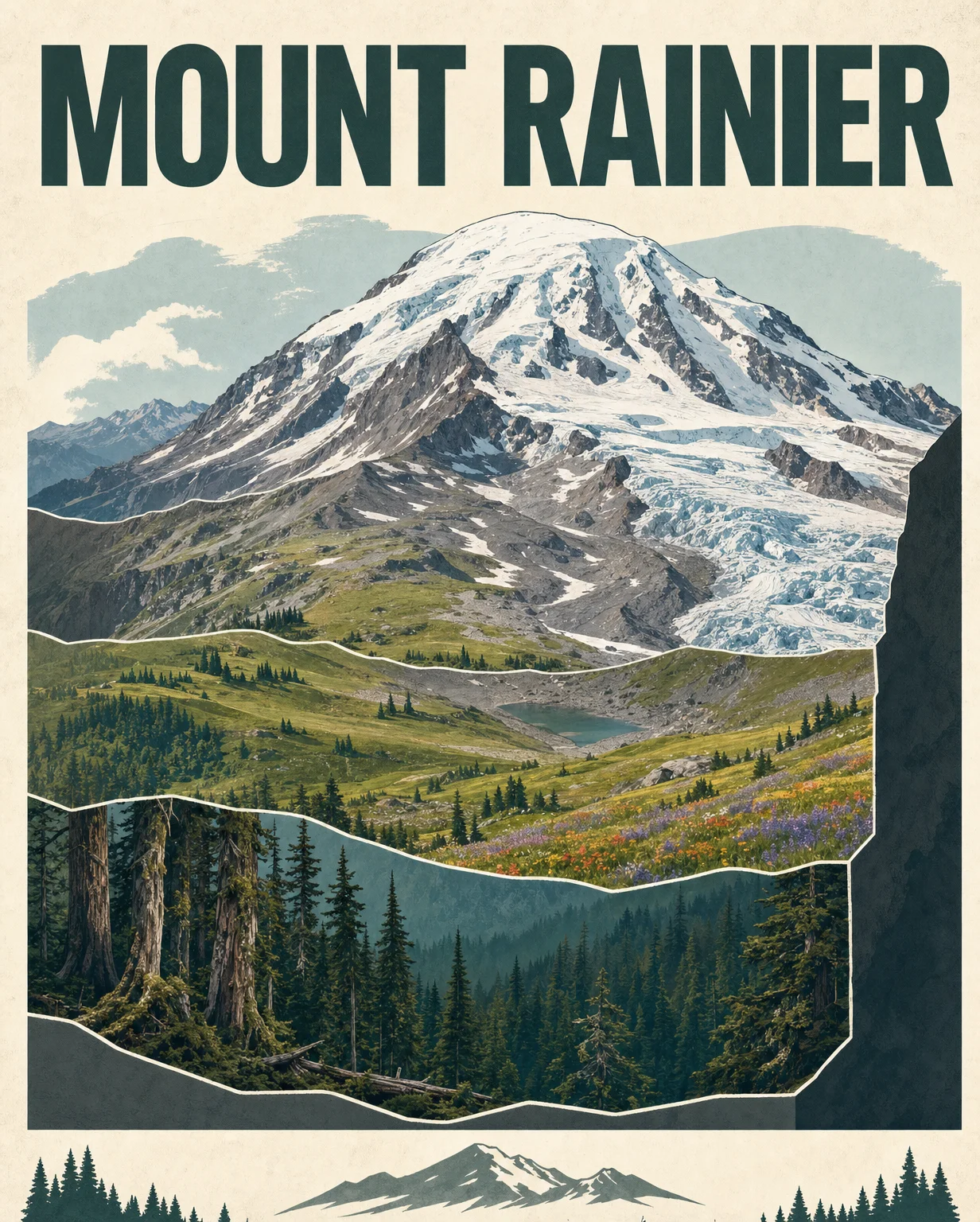
Mount Rainier field guide: forests, meadows, glaciers, and the Skyline Trail
A field-guide read on Mount Rainier, from lowland conifer forest through subalpine wildflower meadows to alpine ice, with season timing, wildlife cues, and a representative Skyline Trail difficulty profile.
Mount Rainier earns its field-guide drama honestly: in roughly 13,000 feet of vertical relief, the mountain moves from wet conifer forest to short-season wildflower meadows to rock, snow, and glacier ice. The park service describes the summit at 14,410 feet, with ancient forest on the lower slopes, subalpine meadows around the volcano, and the most glaciated peak in the contiguous United States above it all.1
Field card
| Guide point | Mount Rainier readout |
|---|---|
| Peak | Mount Rainier, Cascade Range, Washington |
| Summit | 14,410 ft above sea level1 |
| Mountain type | Active stratovolcano; over 20 glaciers and five major rivers are tied to the peak's system2 |
| Best general hiking window | Late July through August is usually the driest and warmest period; snow can remain around 5,000-8,000 ft into mid-July.3 |
| Signature day-hike profile | Skyline Trail from Paradise: 5.5 miles round trip, 1,700 ft gain, about 4.5 hours.4 |
| Difficulty rating | Strenuous day hike for the Skyline loop; alpine summit climbing is a separate mountaineering objective, not a casual trail day. |
Elevation cross-section
| Band | Approximate elevation | What changes underfoot | Plants to notice | Wildlife signal |
|---|---|---|---|---|
| Low forest | 1,700-2,700 ft | Moist old-growth forest, nurse logs, deep shade | Western hemlock, Douglas-fir, western red cedar5 | Black-tailed deer, Douglas squirrels, Steller's jays, ravens are among commonly encountered animals.6 |
| Mid to high forest | 2,700 ft up to 4,000-6,000 ft; high forest above about 4,500 ft | Cooler conifer forest, more snow influence, younger stands near fire, debris-flow, and glacier-disturbed ground | Pacific silver fir, Alaska yellow cedar, western white pine, noble fir, subalpine fir, mountain hemlock5 | Elk and black bear range through many habitats in summer; wildlife viewing requires distance and no feeding.6 |
| Subalpine parkland | About 5,000-7,000 ft | Tree clumps break into meadows; snowpack depth and duration shape where plants can survive | Heather, bell-heather, huckleberry, Sitka valerian, showy sedge, lupine, paintbrush, glacier lily, avalanche lily5 | Mountain goats typically remain in alpine or subalpine life zones year-round.6 |
| Alpine | Treeline to 14,410 ft | Talus, fell fields, snow beds, permanent snow and ice; about half the alpine zone is snow and ice | Sedges, penstemons, asters, heather communities; some heather communities have persisted for up to 10,000 years.5 | Pika, marmots, mountain goats, raptors, and invertebrates mark the high country; conditions matter more than mileage here.2 |
Vegetation zones, in plain language
The lower mountain is not one forest. NPS divides the forest zone into low, mid, and high-elevation forests, with species changing as temperature, snowpack, and slope aspect change.5 That matters for hikers because the trail can feel like several parks stacked on top of each other: dense cedar and hemlock shade near the bottom, then colder fir and mountain hemlock higher up.
The subalpine band is the postcard zone. NPS describes it as roughly 23 percent of the park, a mosaic of clumped trees and herbaceous meadows from about 5,000 to 7,000 feet.5 Its short growing season explains the intensity of the wildflower display. Meadows may hold snow into June or later, then bloom quickly once the window opens.
Above treeline, the mountain becomes less forgiving. The alpine zone runs from treeline to the summit, with permanent snow and ice covering about half of it.5 Plants survive in small, exposed pockets: talus slopes, snow beds, fell fields, and heather communities. If a meadow asks you to stay on trail, the alpine zone asks you to treat every step as a decision.
Signature plants
For a Rainier field guide, three plant groups define the visual memory of the mountain.
- Ancient conifers: western hemlock, Douglas-fir, and western red cedar dominate the low-elevation forests, while Pacific silver fir, Alaska yellow cedar, noble fir, subalpine fir, and mountain hemlock take over higher bands.5
- Subalpine meadow bloomers: lupine, paintbrush, glacier lily, avalanche lily, American bistort, pasqueflower, Sitka valerian, and mountain daisy are part of the meadow communities visitors often come to see.5
- Heather and huckleberry: low shrub communities, especially on the south and west sides of the park, anchor the transition between forest clumps and open meadow.5
Resident wildlife
The park reports 65 mammal species, 14 amphibian species, 5 reptile species, 182 bird species, and 14 native fish species.6 For a hiker, the likely sightings are less about a checklist and more about elevation.
Black-tailed deer, Douglas squirrels, Steller's jays, and ravens are common front-country encounters.6 Elk and black bear can range through many habitats in summer, while mountain goats are more tied to the subalpine and alpine bands.6 Bird life also shifts with elevation; USGS notes that many bird species use the 5,000-6,500 ft subalpine zone during summer.2
Best season
For most hikers, the cleanest answer is late July through August. NPS says July and August are the sunniest months, and late July and August are generally the driest and warmest part of the year.3 The catch is that Rainier is still a mountain weather system. Rain can arrive any day, and snow may persist at 5,000 to 8,000 feet into mid-July.3
For wildflowers, aim after the snow retreat rather than a fixed calendar date. A warm year can open meadows earlier; a heavy snow year can delay the show. For fall color and huckleberry-red meadow texture, September can be excellent, but the weather margin tightens.
Difficulty
As a field-guide day, Rainier is moderate to strenuous depending on how high you go. The representative Skyline Trail gives the right baseline: 5.5 miles, 1,700 feet of gain, and about 4.5 hours from Paradise.4 That is a serious day hike because the climb starts high, crosses exposed subalpine ground, and can hold hazardous early-season snow.
The summit is not part of the same difficulty scale. Once the objective becomes glacier travel, weather exposure, and mountaineering equipment, it leaves the field-guide hiking category. For this channel, the practical recommendation is simple: read Rainier first by zones, then choose your elevation band to match your season, gear, and experience.
Fuentes de referencia
Más de este canal
Contenido relacionado
- Inicia sesión para comentar.