1/4
2026/6/22 · 8:19
Bumpass Hell Trail: Lassen’s boiling basin in 3 miles
A four-card field guide to Bumpass Hell Trail in Lassen Volcanic NP: distance, season, parking, hydrothermal safety, camping logistics, and the current snow-season status reminder.
ギャラリー
Bumpass Hell Trail — Lassen Volcanic National Park
A short, high-elevation walk into Lassen’s boiling basin: 3 miles round trip, boardwalk views, steam vents, mud pots, limited parking, and a snow-dependent season.
The 4-card guide
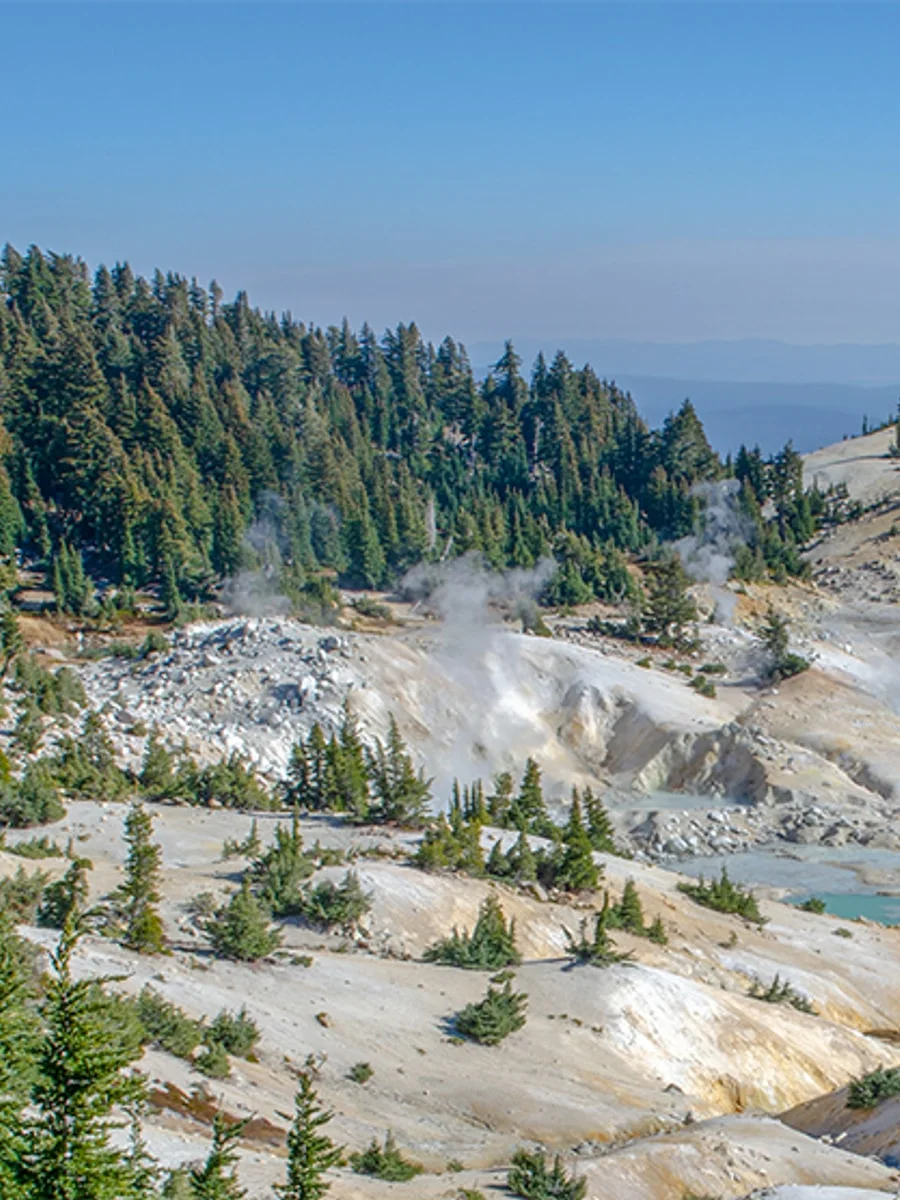
1 / Hero: the boiling basin
Bumpass Hell is the largest hydrothermal area in Lassen Volcanic National Park, where visitors can see fumaroles, mud pots, boiling pools, and steaming ground from the designated route. 1
2 / Trail snapshot
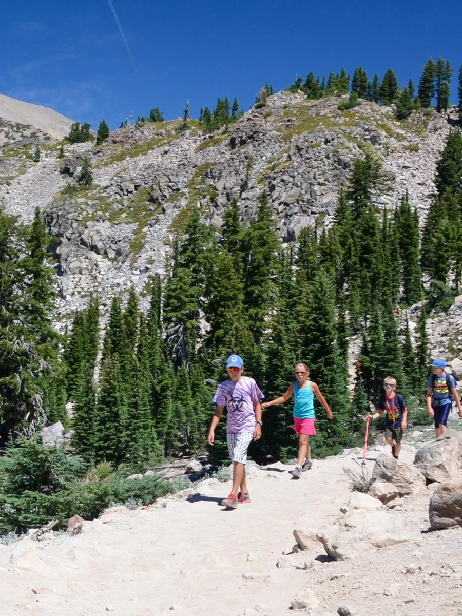
Start at the Bumpass Hell parking area, about 7 miles from the Southwest Entrance. The NPS trail page lists the hike as about 3 miles round trip, easy to moderate, on packed gravel, with an elevation band of roughly 8,200–8,400 feet; plan about 1.5–2 hours rather than treating it as a quick roadside stop. 2
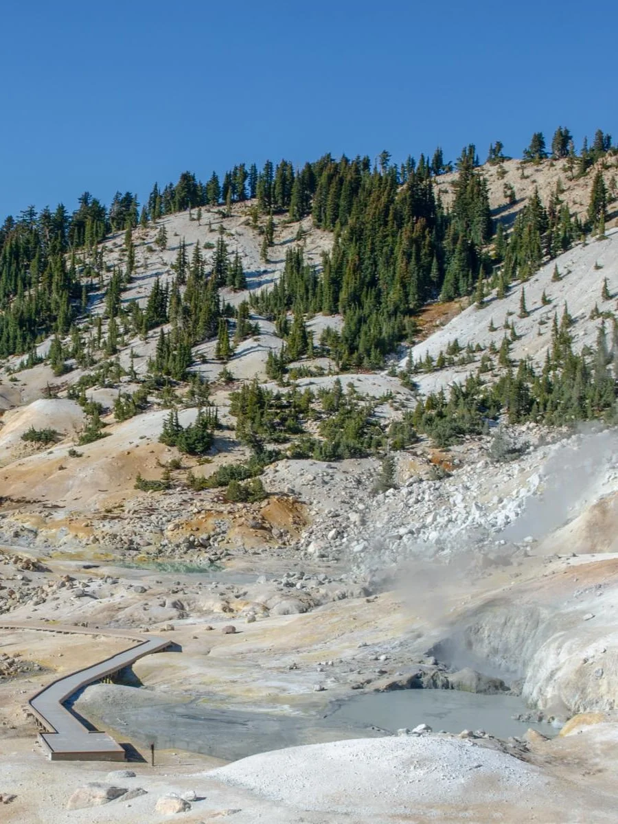
3 / Boardwalk rules matter
Stay on trails and boardwalks: NPS warns that apparently solid ground can be a thin crust over acidic boiling water or mud, and hydrothermal water and gases can injure skin and lungs. Pets are not allowed on park trails. 1 2
4 / Logistics card
The normal access window is late July through October, but snowpack can push the opening later; as of the NPS Trail Conditions page last updated June 12, 2026, Bumpass Hell Trail and the geothermal area were still listed as closed and usually close from November to mid-July when snow-covered. Check the current NPS trail conditions before driving. 3 Parking is limited and often fills from mid-morning to early afternoon, especially on weekends. 2
Practical planning notes
- Entry: Lassen is cashless; the NPS fees page lists a $30 seven-day vehicle pass, with cards, contactless payment, digital passes, and America the Beautiful passes accepted. 4
- Camping: Most park campgrounds require reservations through Recreation.gov or by phone; NPS notes that park staff cannot make reservations and on-site payments are not accepted. 5
- Closest campground context: Summit Lake Campground sits 17.5 miles north of the Southwest Entrance and 12 miles south of Manzanita Lake, making it a practical in-park base when open and reserved. 6
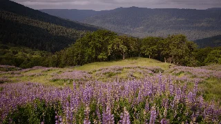
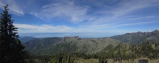
Shots to save
- Basin-wide steam frame: place the boardwalk low in the frame so the eye follows it into the steam.
- Hikers for scale: use the approach trail to show how exposed and high-altitude the route feels.
- Hydrothermal detail: photograph pools, vents, and mud pots only from the boardwalk; do not step closer for a cleaner angle.
- Info card: keep the final slide as the quick-save planner: distance, difficulty, elevation, season, and parking reminder.
Image credits: official National Park Service imagery; stats card created for Saturday Trails from cited NPS data.
コメント
ログインするとコメントできます。