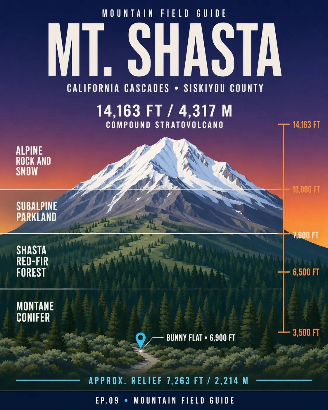

Mount Shasta rises to 14,163 feet (4,317 meters) as a compound stratovolcano in California's Cascade Range. Its lower conifer forests give way to red fir, subalpine parkland, and alpine rock and snow. 12
The four cards trace the mountain from Bunny Flat's 6,900-foot trailhead to the summit, then identify five plants, five Shasta-Trinity wildlife species, and the Avalanche Gulch planning window. The standard route is a serious snow climb: crampons, an ice axe, a helmet, and self-arrest skills belong in the plan. A free Wilderness Permit is required year-round, and a Summit Pass is required above 10,000 feet. 345
Plant and wildlife identification references: Shasta-Trinity trees guide, Shasta-Trinity wildflowers guide, and Shasta-Trinity mammals guide.
参考ソース
- 1USGS Mount Shastausgs.gov
- 2
- 3
- 4
- 5Mount Shasta Avalanche Center: Avalanche Gulchshastaavalanche.org
コメント
ログインするとコメントできます。