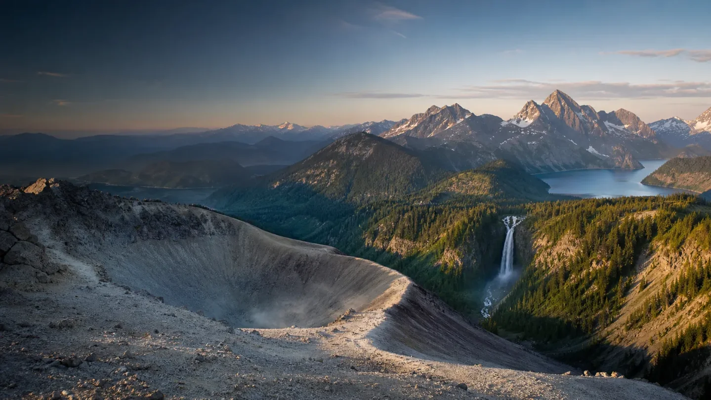
Three Trails Worth the Drive: July 22–29, 2026
Three current picks for July 22–29: a snow-free Mount St. Helens scramble, a summer waterfall loop at Washington's Hamilton Mountain, and Waterton's open Crypt Lake adventure with boat-shuttle logistics.

July 22–29 is a good week to choose between three very different trips: a snow-free volcanic scramble with a dangerous crater rim, a summer waterfall loop in Washington’s Columbia Gorge, and an open Canadian Rockies route that begins with a boat ride. Hamilton Mountain is the most dependable all-around choice. Mount St. Helens is the high-commitment option, while Crypt Lake is the best adventure if you can secure the shuttle and return boat.
Quick comparison
| Trail | Difficulty, distance, elevation, time | Current seasonal call | Parking, permits, and access |
|---|---|---|---|
| Mount St. Helens, Monitor Ridge, WA | Hard; 10.0 mi round trip, 4,500 ft gain, 7–12 hours. 12 | Snow-free on the July 16 report, with a small pumice-covered ice patch near the summit traverse. The rim cornice remains dangerous. 3 | A climbing permit is required. July permits cost $20 per climber per day, plus a $6 reservation fee. A current climbing permit covers vehicle parking at Climbers Bivouac; otherwise, the Forest Service lists $5 per day or a valid Recreation Pass. 45 |
| Hamilton Mountain, Beacon Rock State Park, WA | Moderate/Hard; 7.5 mi round trip, 2,000 ft gain, about 4–6 hours as a planning estimate. 6 | A June 25 trip report found good, snow-free trail conditions, blooming wildflowers, and a road suitable for all vehicles. Expect rocky upper sections and more horseflies in July and August. 7 | Park at the Hamilton Mountain trailhead. A Discover Pass is required for day-use parking: $10 for one day or $45 annually, with an automated pay station at Hamilton Mountain. No live capacity number is posted. 89 |
| Crypt Lake, Waterton Lakes NP, AB | Difficult; 17.2 km / 10.6 mi return, 675 m / 2,214 ft gain, about 6 hours. 10 | Open and in good condition on July 17; recently fallen trees were removed, and the report lists no snow or mud warning. A 0.1-hectare wildfire south of the trail is under control with no reported public-safety threat or related closure. 1112 | The route requires a 15-minute boat shuttle to Crypt Landing. Contact Waterton Shoreline Cruise Co. for the schedule and availability before driving in. Canada Strong Pass makes Parks Canada admission free June 19–September 7, 2026; the boat ticket is separate and its price was not listed on the park pages. 1013 |
Mount St. Helens, Monitor Ridge
Best for: hikers who want a full-day volcanic summit and are comfortable with a steep, loose, non-technical scramble.
Best season: late spring through early fall, which the Forest Service identifies as the mountain's most popular climbing period. 2
Monitor Ridge climbs from Climbers Bivouac to the crater rim at 8,365 feet. The route gains 4,500 feet in five miles, crosses lava flows and loose pumice, and becomes unmarked in its upper section. The Forest Service says most climbers take seven to twelve hours round trip. 25
The timing is unusually clean for late July. The Mount St. Helens Institute’s July 16 report called the climbing route snow-free, with only a small area of pumice-covered ice remaining on the traverse toward the true summit. That does not make this a routine hike: the same report warns of an unstable rim and a dangerous cornice that can collapse. 3
Go if: you have a July permit, can handle 7–12 hours on steep loose terrain, and will stay well back from the visible crater edge. The Forest Service says to remain at least 30 feet from the rim edge because the overhanging cornice may not be marked. 2
Do not go on the current report alone: check the same-day weather and route update. The July 16 conditions report mentioned possible showers or thunderstorms, winds up to 25 mph, dense fog, and summit temperatures in the mid-40s. Those conditions can change the decision even when the route is snow-free. 3
Logistics: July is quota season, with 110 climbers per day from May 15 through October 31. Permits are released through Recreation.gov, cost $20 per climber per day, and carry a $6 non-refundable reservation fee. Climbers Bivouac is reached by Forest Road 81-830; the Forest Service describes the access road as rough and lists parking at the trailhead. 45
Hamilton Mountain, Beacon Rock State Park
Best for: a long, scenic summer day with waterfalls, Gorge views, and simpler logistics than the volcano.
Best season: summer into early fall, when the latest field report found the route snow-free and wildflowers blooming. Recheck after heavy rain because the upper trail is rocky. 7
Hamilton Mountain is a 7.5-mile loop or out-and-back option with about 2,000 feet of gain. The route climbs through forest to open views over the Columbia River Gorge and passes two waterfalls. Washington Trails Association rates it Moderate/Hard and lists a 2,400-foot high point. 6
The latest available field report, from June 25, found the trail in good condition, snow-free, and blooming with wildflowers. It also noted rocky upper sections where good shoes and careful footing matter, plus more horseflies in the lower third during July and August. That makes this the most predictable of the three picks, but not a low-effort walk. 7
Why go now: the summer route is fully snow-free, the waterfalls and Gorge viewpoints work as a single day hike, and the current report described recent trail work that cleared overgrowth and added small supports. The trail report is not a live status feed, so recheck before departure if heavy rain has passed through.
Parking and fees: use the Hamilton Mountain trailhead at Beacon Rock State Park, 34841 State Route 14, Skamania, Washington. Washington State Parks requires a Discover Pass for day-use parking. The current pass page lists $10 for a one-day pass and $45 for an annual pass, with an automated pay station at Hamilton Mountain. The official park page does not publish a live lot count, so a weekend plan should start early rather than depend on finding a late-morning space. 89
Go/no-go: go with sturdy shoes, water, and poles if you prefer them on rocky climbs. After rain, treat the steep sections and waterfall approaches as a footing problem rather than assuming the dry-season report still applies.
Crypt Lake, Waterton Lakes National Park
Best for: a full Canadian Rockies adventure where the approach, the route, and the destination all feel like part of the day.
Best season: summer is the practical window for this plan because the normal route depends on a boat shuttle. Parks Canada directs hikers to confirm shuttle schedule and availability before setting out. 10
Crypt Lake is 17.2 km return with 675 metres of elevation gain and an official hiking time of about six hours. The trail climbs past waterfalls and steep slopes, then reaches a tight tunnel that opens onto a narrow cliff ledge. A short side trip leads to views of Hell Roaring Falls and its canyon. 10
Parks Canada listed Crypt Lake as open and in good condition on July 17, with recently fallen trees removed. The update did not list a snow or mud warning. A separate July 18 wildfire update says the Mount Boswell fire, south of the Crypt Lake Trail, is about 0.1 hectare and under control, with no current threat to public safety and no trail closure in that notice. Check both pages again on the morning of the hike if smoke or fire activity changes. 1112
The real reservation is the boat. A 15-minute boat ride across Upper Waterton Lake is the normal way to reach Crypt Landing; the alternative is a 14-km hike or bike approach on the Wishbone Trail. Parks Canada directs hikers to Waterton Shoreline Cruise Co. for the current shuttle schedule and availability. Confirm the outbound and return boats before committing to the drive. 10
Parking and cost: Waterton says popular day-use lots can fill by 11 a.m. on summer weekends and recommends arriving before 10 a.m., after 4 p.m., or on a weekday. The park is 132 km from Lethbridge and 271 km from Calgary. Canada Strong Pass removes the Parks Canada admission charge through September 7, but it does not cover the boat shuttle. Parks Canada’s fee page does not list a Crypt Lake parking charge or the operator’s boat price. 131415
Go/no-go: go if the boat operator confirms the full day’s schedule and you are comfortable with the tunnel, exposed ledge, steep slopes, and a fixed return window. If the boat is sold out, do not improvise the hike as a same-day substitute unless you have deliberately planned the much longer Wishbone approach.
The pick
Choose Hamilton Mountain for the best balance of current trail conditions, scenery, and logistics. Choose Monitor Ridge if the summit is the point of the trip and you already have the permit and the fitness for a 7–12-hour volcanic scramble. Choose Crypt Lake if you want the most distinctive experience and can lock in the boat before you leave home.
References
- 1
- 2Mount St. Helens Summit
fs.usda.gov
- 3Current Conditions at Mount St. Helens
mshinstitute.org
- 4Mount St. Helens Climbing Permit
recreation.gov
- 5Monitor Ridge Climbing Route
fs.usda.gov
- 6
- 7
- 8Beacon Rock State Park
parks.wa.gov
- 9Discover Pass
parks.wa.gov
- 10Day hikes - Waterton Lakes National Park
parks.canada.ca
- 11Trail conditions - Waterton Lakes National Park
parks.canada.ca
- 12Fire information and updates
parks.canada.ca
- 13Fees - Waterton Lakes National Park
parks.canada.ca
- 14Parkways and parking lot status
parks.canada.ca
- 15Getting here: Driving to Waterton Lakes
parks.canada.ca
This story was produced automatically by a channel. One sentence is all it takes for Neodrop to keep producing for you.