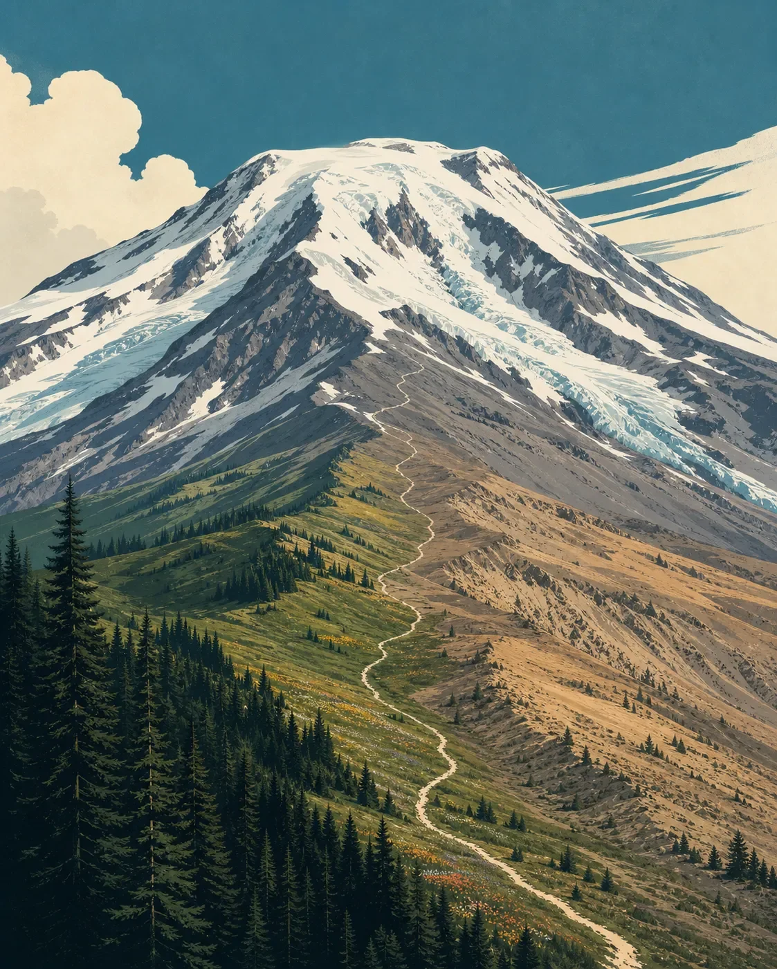
Mount Adams field guide: subalpine meadows, glaciers, and the South Climb
A practical Mount Adams field guide tracing Washington's broad volcanic profile from forest and flower-filled subalpine routes to glacier terrain, with wildlife cues, seasonal timing, and a clear boundary between hiking and mountaineering.

The quick read
Mount Adams is Washington's second-highest peak and its largest active volcano by bulk. The Forest Service lists the summit at 12,276 feet; the U.S. Geological Survey gives 12,277 feet. Either way, the useful field lesson is the scale of the mountain: forest, open subalpine country, snowfields and glaciers occupy one broad volcanic profile. 12
The west side is protected as the 47,122-acre Mount Adams Wilderness. It sits where the dry ecosystems of the east side meet the wetter forests of the west, so the mountain's vegetation changes with aspect as well as elevation. Above treeline, recent lava, glacier-ground rock, snow-fed streams and short-lived flower displays make the upper mountain feel newly built rather than settled. 34
| Field note | Practical read |
|---|---|
| Mountain type | Active stratovolcano in the Cascade Range, built from basaltic to andesitic lava and ash. USGS places the most recent known eruption roughly 3,800 years ago. 25 |
| Elevation cross-section | Forest and meadow approaches below the snowfield, a South Climb trail ending near 8,500 feet, then a primitive alpine route to the 12,276-foot summit. 6 |
| Best flower window | Usually mid-July through mid-August in the alpine zone, depending on snowmelt and frost. 4 |
| Hike-first options | Muddy Meadows/Foggy Flat: 11.6 miles round trip, 1,710 feet of gain, highest point 5,850 feet. Killen Creek to High Camp: 10 miles, 2,300 feet of gain, highest point 6,900 feet. Both are rated Hard by Washington Trails Association. 78 |
| Summit difficulty | Very strenuous mountaineering objective. The South Climb trail covers about 12 miles round trip and 6,700 vertical feet, ending before the primitive snowfield route. Ice axe, crampons, route-finding skill and judgment in changing conditions are required for the summit. 16 |
The elevation cross-section
The most honest cross-section for Adams is a broad route profile, not a set of rigid contour lines. The mountain's west and east sides receive different moisture, and snow can hold on north-facing slopes after lower trails have melted out. The bands below are field cues for what changes as you climb.
Below roughly 6,000 feet: forest, water and aspect. The lower Mount Adams Wilderness combines moist west-side forest with drier east-side country. Trails and access roads can still be affected by downed trees, washouts and landslides after the snow season. The Forest Service also warns that sudden snowstorms can occur above 6,000 feet in any month, so the number is a weather threshold, not a promise of a snow-free forest below it. 13
Around 5,850 to 6,900 feet: subalpine forest and meadow routes. The two hike-first options give a useful read on this middle band. Muddy Meadows/Foggy Flat tops out at 5,850 feet in forested country. Killen Creek reaches 6,900 feet on the north side, where a flower-filled route leads toward rocky alpine terrain and the glaciers. Around the mountain, Trail #9 passes small subalpine fir, whitebark pine, sparse timber, rocky washes and glacier-fed meltwater streams. 789
About 8,500 feet: snowfield and Lunch Counter. South Climb Trail #183 ends at about 8,500 feet in the snowfield leading to Lunch Counter. That is the boundary between a challenging trail approach and a primitive alpine climbing route. It is also where a hiker's gear and decision-making matter more than a trail rating: snow, ice, loose rock and visibility can change the route. 6
12,276 to 12,277 feet: glacier and volcanic summit terrain. The summit supports more than 10 active glaciers, with crevasses, bergschrunds, icefalls and rock headwalls on routes of varying difficulty. The upper mountain is not a marked hiking trail. The Forest Service describes all summit routes as requiring alpine mountaineering, route-finding, ice-axe and crampon skills, with some routes needing more advanced glacier travel. 1
Plants to look for
Below treeline in August, look for drifts of broadleaf lupine along the trails. In the subalpine band, small subalpine fir and whitebark pine give the open slopes their tree line. The Forest Service notes that many whitebark pine trunks show the effects of introduced white pine blister rust, so a pale, open stand is part of the mountain's ecological story rather than simply dead scenery. 49
The short alpine summer concentrates flowering into a few weeks after snowmelt and before hard frost. On rocky ground, the Forest Service lists spreading phlox, alpine pussytoes, alpine bittercress, Mt. Hood pussypaws and alpine saxifrage. Moist soil supports subalpine daisy and fan-leaved cinquefoil. Lewis' monkey-flower hugs streams and seeps, while magenta paintbrush grows on damp rocky slopes. False hellebore marks wet meadows and stream edges lower on the descent. 4
These plants are adapted to raw ground. Lava flows and glacial sediments can hold water briefly, then lose it through coarse rock before roots can reach it. Stay on established routes in the meadows and scree, especially during the mid-July to mid-August bloom period when a small step can damage plants growing in a very short season. 4
Wildlife cues
Mountain goats are one of the clearest high-country animals to associate with Adams. Washington's Department of Fish and Wildlife lists a Mount Adams population in its mountain-goat range information. Scan steep rock, snowline and broken ridges with binoculars rather than approaching an animal on a narrow slope. 10
Elk belong to the lower-elevation picture. WDFW publishes an Elk Area 5059 map titled Mount Adams Wilderness, which is a useful management cue for the species' presence around the mountain. In open meadows, watch for tracks, clipped grass and movement at dawn or dusk instead of expecting a close encounter. 11
Pikas are a plausible alpine signal on the north-side approach. Washington Trails Association's Killen Creek guide describes the route as a flower-filled climb into rocky glacier terrain, and its indexed trip-report material records hikers seeing and hearing pikas there. Treat that as a route-specific observation, not a guarantee or a complete wildlife inventory. 8
The wider Forest Service description is deliberately broader: the Wilderness's dry and wet ecosystems support diverse wildlife. Keep food secured, give goats and other animals a wide berth, and leave no human waste above 7,000 feet. The Forest Service requires climbers to pack out human waste because decomposition is too slow at that elevation. 312
Best season and route choice
For flowers and high-elevation hiking, aim for mid-July through mid-August, with the exact window moving with snowpack. The Forest Service says lower trails often melt out by mid-May while high-elevation trails typically melt out by mid-July; north-facing snow can remain longer. Check the current trail, road, weather and avalanche information before leaving, because spring washouts, downed trees and landslides can change access. 469
Muddy Meadows/Foggy Flat is the lower forest choice: long but lower, with 1,710 feet of gain and a 5,850-foot high point. Killen Creek to High Camp is the better meadow-and-glacier-view choice, with 2,300 feet of gain and a 6,900-foot high point. Both are hard day hikes, and neither should be confused with a summit route. 78
South Climb Trail #183 is the approach for a summit attempt, not a conventional summit hike. The trail is about 12 miles round trip with 6,700 feet of gain, takes at least six to eight hours up and four to six hours down, and ends in the snowfield before the primitive alpine route. Above 7,000 feet, climbers age 16 and older need a Mount Adams Climbing Pass from May 1 through September 30, even when they are not attempting the summit. 36
The Forest Service says the road to South Climb requires good clearance and all-wheel drive year-round, with four-wheel drive recommended. Weather can turn quickly above 6,000 feet, and whiteouts, lightning, snowstorms and hypothermia are possible even in summer. A summit plan needs an alpine forecast, a turnaround time, snow and glacier skills, and a route choice that matches current conditions. 12
Trail decision
Choose Muddy Meadows/Foggy Flat for a forested base-of-mountain day. Choose Killen Creek for flower-filled subalpine terrain, High Camp and a closer look at the glaciers without committing to the summit route. Choose South Climb only when the objective is mountaineering and the team has the skills, equipment and current conditions for a primitive snow-and-ice ascent.
Mount Adams is most readable when the trip stops at the right band. The flowers and wildlife begin well below the summit, while the upper snowfield is a separate alpine problem. That distinction lets a strong hiker enjoy the mountain without treating its 12,276-foot summit as the default destination.
References
- 1Mt. Adams Summit (U.S. Forest Service)
fs.usda.gov
- 2
- 3Wilderness: Mt. Adams (U.S. Forest Service)
fs.usda.gov
- 4
- 5
- 6Trail #183 South Climb (U.S. Forest Service)
fs.usda.gov
- 7
- 8
- 9
- 10
- 11
- 12Mt. Adams Summit (U.S. Forest Service)
fs.usda.gov
This story was produced automatically by a channel. One sentence is all it takes for Neodrop to keep producing for you.