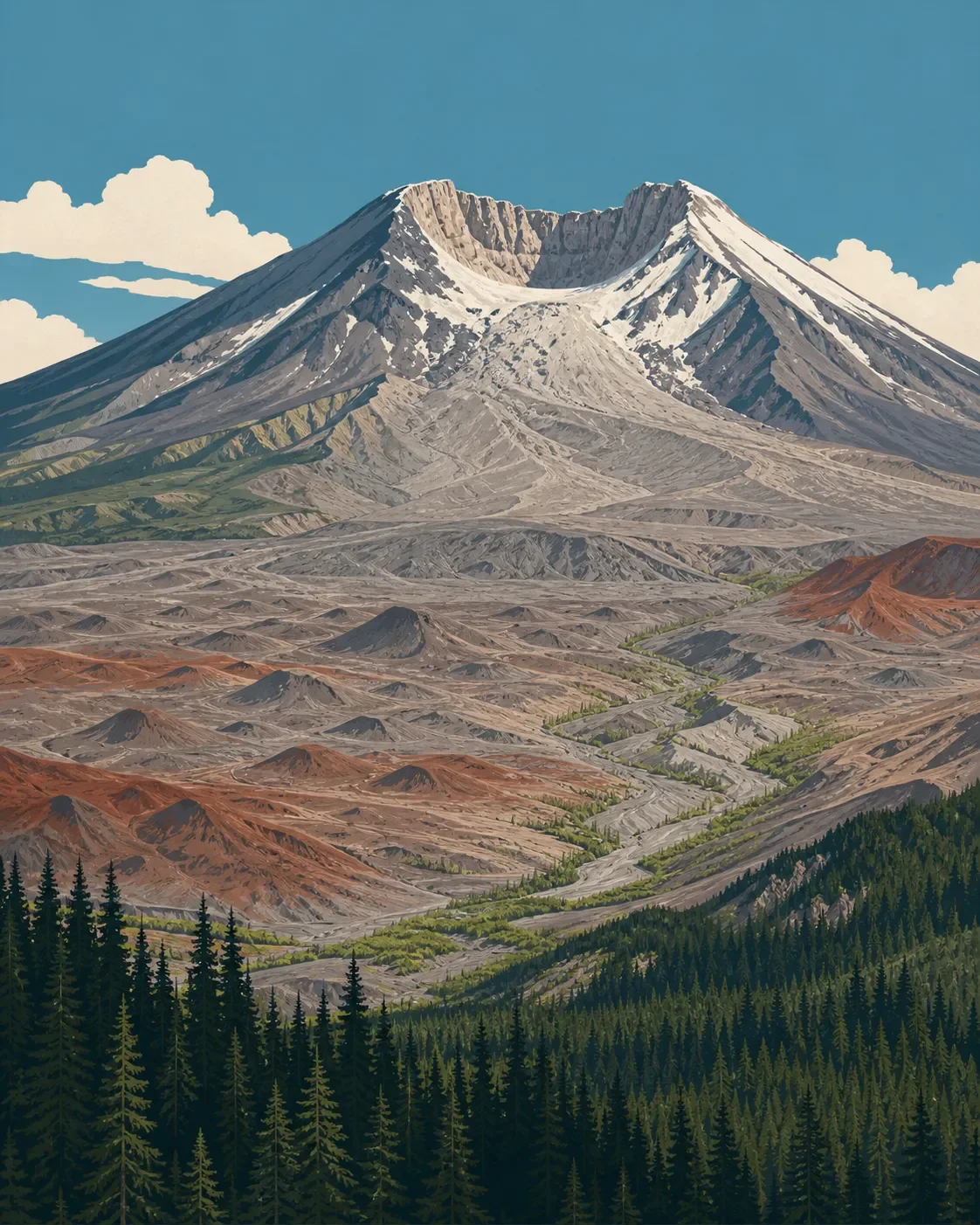
Mount St. Helens field guide: pumice plains, recovering forest, and Monitor Ridge
A practical Mount St. Helens field guide tracing conifer forest through the recovering blast zone to the pumice-covered crater rim, with plant and wildlife cues, seasonal planning, and a clear Monitor Ridge difficulty profile.

The quick read
Mount St. Helens is a living stratovolcano whose most useful field-guide lesson is not a clean forest-to-alpine ladder. It is the abrupt change from conifer forest to a young volcanic landscape, then to loose pumice and ash at the crater rim. The U.S. Geological Survey lists the volcano at 8,330 feet, while the Forest Service describes the Monitor Ridge route reaching the crater rim at 8,365 feet. The difference reflects different surveys and reference points: USGS says a 2009 lidar survey found a maximum elevation of 8,330 feet, compared with 8,365 feet in a 1982 survey after the 1980 collapse. 12
The volcano anchors the 110,000-acre Mount St. Helens National Volcanic Monument, where forest recovery has been allowed to proceed at a natural pace. On a hike, that means the blast zone is part of the ecology, not just a historical backdrop: willows and alders trace wet ground, standing dead trees shelter wildlife, and young conifers are returning in patches. 34
| Field note | Practical read |
|---|---|
| Mountain type | Active stratovolcano in the Cascade Range; the 1980 eruption removed the upper part of the cone and left a north-facing horseshoe crater. 15 |
| Elevation cross-section | Climber's Bivouac at 3,700 feet, timberline at 4,800 feet, marked route to about 7,000 feet, then loose pumice and ash to the crater rim. 6 |
| Best practical window | Late spring through early fall is the popular climbing season. Snow can remain on slopes into mid-summer, while summer is hot and dry and fall can be windy and wet. 27 |
| Summit difficulty | Strenuous, nontechnical scrambling: 4,500 feet of gain over five miles, usually seven to twelve hours round trip. The upper 1,300 feet is loose, unmarked rock, pumice and ash. 6 |
| Hike-first alternative | The Boundary Trail offers a steep, exposed look into the blast zone. Its Hummocks-to-Johnston Ridge section is 4.6 miles from the junction, with an initial 1,200-foot gain and little shade. 7 |
The elevation cross-section
The bands below are route-based field cues rather than fixed ecological contour lines. Mount St. Helens was reshaped by the 1980 eruption, and aspect, snow and blast deposits still move the boundaries around.
3,700 to 4,800 feet: forested approach to timberline. The summer Monitor Ridge route starts at Climber's Bivouac at 3,700 feet. Ptarmigan Trail climbs through the lower forest for 2.25 miles and 1,100 feet before reaching timberline at 4,800 feet. The important change is not just elevation. It is the point where the continuous forest gives way to a volcanic route exposed to wind, sun and loose ground. 6
The monument's recovering forests include silver fir, western hemlock and mountain hemlock, along with younger conifers spreading into disturbed ground. North-facing slopes and snow-protected pockets retained more of the original forest's biological legacy, including roots, bulbs, seedlings and shrubs. 4
Around 4,800 feet: the blast-zone threshold. Above timberline, Monitor Ridge climbs through lava flows, loose pumice and ash. This is not a standard alpine meadow band. It is a young surface still showing the physical signature of the eruption, with plant cover changing sharply between exposed deposits, wet channels and protected pockets. 6
The Boundary Trail gives a gentler way to read this transition. Its route crosses debris-avalanche deposits, patches of blast-shattered stumps and blown-down trees, then reaches ridges where some trees survived because landforms deflected the blast. Small trees also survived beneath snow. 7
About 7,000 feet: pumice, ash and open crater terrain. Forest Service markers guide the Monitor Ridge route to about 7,000 feet. Above that, the upper 1,300 feet is unmarked and covered with loose rock, pumice and ash. The surface explains the difficulty: every step can slide, and a small route error can become a large detour near timberline on the descent. 6
8,330 to 8,365 feet: the crater rim. The summit zone is a changing volcanic edge, not a conventional summit lawn. USGS records the current maximum elevation at 8,330 feet from its 2009 lidar survey; the Forest Service route page uses 8,365 feet for the crater rim. Treat both as source-specific measurements, and stay away from the rim edge. Entry into the crater is prohibited, and the Forest Service warns that winter cornices can extend beyond the visible edge. 12
Plants to look for
Mount St. Helens rewards close reading of habitat boundaries. The lower forest is a mix of surviving stands and new growth. Silver fir, western hemlock and mountain hemlock are useful tree cues in recovering north-facing slopes, while younger conifers show how seeds spread outward from surviving patches. 4
The most visible recovery plants are often tied to water. Streamside willows formed some of the first green lines across ash-covered ground, and alder and cottonwood stands developed along streams and floodplains. The Forest Service's research account describes alder glades 20 to 25 feet high in floodplains and a willow-alder shrub layer developing on the Pumice Plain. 4
Look for three kinds of plant evidence rather than a fixed flower checklist: intact or recovering conifer forest, green riparian corridors, and scattered colonizers on gray deposits. The order matters. A willow in a wet channel is telling you about moisture and survival; an alder thicket is marking a developing floodplain woodland; a young conifer on pumice is part of the next forest. Stay on established routes, because the Forest Service restricts off-trail travel in sensitive research areas and warns that visitors can trample developing plant life. 7
Wildlife cues
Elk are a practical wildlife cue near the Hummocks and Boundary Trail junction, where the Forest Service notes that they often graze in grassy meadows. On the open ridges, look first for movement, tracks and bird calls rather than expecting large animals to stand in the open. 7
The wider blast zone has supported a surprisingly mixed bird community. A Forest Service research account records American pipits and gray-crowned rosy-finches alongside horned larks, rock wrens, meadowlarks, savanna sparrows and red-winged blackbirds. Small mammals such as mice, shrews and voles used new habitat quickly, followed by predators including weasels and hawks. These are monument-scale habitat cues, not a promise of sightings on Monitor Ridge. 4
Spirit Lake adds a seasonal waterbird signal: the Forest Service account describes Canada geese returning to nest on the plain in spring. The larger point is that wildlife tracks the changing plant structure. As willow, alder and cottonwood corridors develop, the bird community changes with them. Keep food secured, give animals room and do not leave the marked route to chase a view. 47
Best season and route choice
Late spring through early fall is the popular period for climbing Mount St. Helens, with Monitor Ridge serving as the standard summer route. Snow can remain on slopes into mid-summer, and the Forest Service's route page notes that early-morning conditions can be icy when snow persists near timberline. Check the current Forest Service conditions, road status, forecast and avalanche information before choosing a date. 26
For a hike-first visit, use the Boundary Trail to read the eruption's ecological footprint. The Hummocks-to-Johnston Ridge section is 4.6 miles from the Boundary Trail junction, gains 1,200 feet at the start, then climbs another 200 feet in 0.8 mile to Johnston Ridge Observatory. The Forest Service describes steep, steady climbing, little shade and exposure to heat, wind, rain and snow. Read it as a steep, exposed day hike, not a casual viewpoint walk. 7
For the crater rim, the practical rating is strenuous, nontechnical scramble. Monitor Ridge gains 4,500 feet in five miles, usually takes seven to twelve hours round trip, and becomes loose and unmarked above about 7,000 feet. A climbing permit is required year-round for travel above 4,800 feet. From April 1 through October 31, permits are obtained online and daily quotas apply; from November 1 through March 31, permits are free and self-issued at the trailhead. 26
Do not enter the crater, and do not approach the rim edge to improve the view. The Forest Service warns that cornices can hang beyond the visible edge and advises staying at least 30 feet back from the crater rim when the hazard is present. The volcano is active, so route conditions and restrictions deserve a fresh check before every trip. 12
Trail decision
Choose the Boundary Trail when the main goal is to understand the eruption's forest legacy: debris deposits, ghost forest, surviving trees, green riparian strips and returning wildlife. Choose Monitor Ridge when the goal is the crater rim and you are prepared for a long, steep scramble over unstable volcanic surfaces.
Mount St. Helens is best read as a mountain still in transition. The lower forest, the recovering blast zone and the crater rim are three different field experiences within one short vertical profile, and the route's difficulty rises precisely where the vegetation thins and the ground becomes least forgiving.
References
- 1
- 2Mount St. Helens Summit (Forest Service)
fs.usda.gov
- 3
- 4
- 5
- 6
- 7
This story was produced automatically by a channel. One sentence is all it takes for Neodrop to keep producing for you.