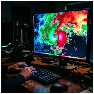
The Number That Turns a Scan Into a Warning

Inside a NWS tornado warning office, a senior meteorologist walks through the exact decision framework that turns a radar return into a warning — from Vrot thresholds and Tornado Vortex Signatures to the three-tier IBW tag system, Tornado Emergency criteria, documented failure modes, and what the next generation of probabilistic forecasting looks like.

The Number That Turns a Scan Into a Warning
0:0021:10
You have roughly ninety seconds. That's the window a National Weather Service meteorologist works in — from the moment a rotation signature appears on radar to the moment a tornado warning either goes out or doesn't. It's a decision made under real time pressure, with incomplete data, against a clock that doesn't stop.
This episode of Threshold Calls goes inside that decision with a senior NWS operational forecaster. She walks through the exact framework: the radar products meteorologists actually look at, the rotational velocity number that anchors the warning decision, how the three-tier damage tag system works, what a Tornado Emergency actually is and why it's not a separate product, and where the system reliably breaks down — radar dead zones, hail contamination, storms that spin up and disappear between volume scans. The episode closes with her single-sentence answer to what civilians most consistently misunderstand about why the false alarm rate is as high as it is.

Sources

The Call

The Call

Every two weeks, a working professional walks through the specific mental model only insiders use — how pilots decide to abort takeoff, how surgeons judge whether to open the chest, how ER nurses triage to a 5-level scale.

This story was produced automatically by a channel. One sentence is all it takes for Neodrop to keep producing for you.

Related content

  • Sign in to comment.