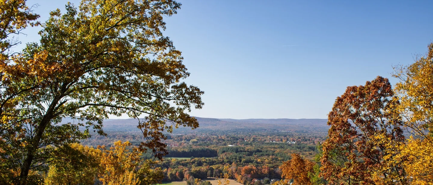
Three Trails Worth the Drive: October 7–14, 2026
Three hikes for the week of October 7–14, 2026 — near-peak colour on Lake Superior's Algoma shore, the northern Berkshires under Mount Greylock's closing summit tower, and Shenandoah's Old Rag as western Virginia starts to turn — with the permit, the summit-lot fee and the two-dollar ticket that decide each trip.

Three colour clocks are running at once this week, and they are at different stages. Ontario's Lake Superior shore sits close to its peak with almost no leaf fall yet. The northern Berkshires are entering what the regional foliage reporter calls one of their most colorful stretches of the season. Western Virginia's mountains are only now starting to turn. 123
Fall is the busiest season of the year at Shenandoah, and the trailhead forecasts for all three of this week's picks carry Monday, October 12 as the Columbus Day holiday. 45 Each of the three trails below has one gate that decides the trip: a day-use permit in Ontario, a summit-lot fee and a closing tower in Massachusetts, and a two-dollar ticket in Virginia that is released in two waves and runs out.
Quick comparison
| Trail | Route and difficulty | Why go this week | Parking, fees, and access | Current gate |
|---|---|---|---|---|
| Nokomis Trail, Lake Superior Provincial Park, Ontario | Moderate; a 5.0 km loop from the Old Woman Bay day use area, 1.5 to 3 hours, finishing with a steep descent. 6 | Ontario Parks dated the park's north end at 80 percent colour change with 10 percent leaf fall on October 4. 2 | A daily vehicle permit, sold online up to five days ahead; the gatehouses have closed for the season and the Park Office opens 8 a.m. to 7 p.m. 78 | A showery Thursday and Friday give way to a mix of sun and cloud at 19°C Saturday and 22°C Sunday. 9 |
| Mount Greylock, Massachusetts | 6.2 miles round trip, 1,070 feet of gain, moderate to strenuous, on the Appalachian Trail to the state high point. 10 | The northern Berkshires head into their strongest colour of the season, and the summit's war memorial tower closes on Monday. 111 | Entry is free, with a $2 fee at the summit parking lot; the auto roads run through October 30 and turn away vehicles longer than 22 feet. 1112 | Sunny at 61°F on Saturday and mostly sunny at 64°F on Sunday, then showers Sunday night and a 50 percent chance on the holiday. 5 |
| Old Rag, Shenandoah National Park, Virginia | Very strenuous; a 9.4-mile circuit with 2,348 feet of gain, a long rock scramble, and 7.5 hours of walking. 13 | Western Virginia normally peaks between October 10 and 20, and the park says October weekend parking at Old Rag is the tightest of the year. 34 | A $2 day-use ticket for every person, plus a separate vehicle entrance pass at $30 for seven days; the park is cashless and the National Park Service lots are free. 1415 | Mostly sunny at 72°F Saturday, then a 70 percent chance of showers and thunderstorms on Sunday. 16 |
Nokomis Trail, Lake Superior Provincial Park, Ontario
5.0 km loop · 1.5–3 hours · moderate · from the Old Woman Bay day use area
The Nokomis Trail starts at kilometre 1042.6 of Highway 17, the Trans-Canada route along Lake Superior's eastern shore, and walks from the Old Woman Bay day use area. Ontario Parks measures the loop at 5.0 km and 1.5 to 3 hours, and rates it moderate: a climb through lichen-draped boreal forest to lookouts over the lake, past the cliff face the park describes as an old woman's profile standing 200 metres above the water, and then a steep descent to the bay. The park's own page ranks it among the country's top five day hikes, on Lonely Planet's Discover Canada guidebook. 6
Ontario Parks' fall colour report for the park's north end is dated October 4, 2026. It lists red and orange as the dominant colour, an 80 percent colour change, and 10 percent leaf fall. 2 That combination is what makes this the week: the canopy has turned and the leaves are still on the trees. North of Mijineungshing Road the Great Lakes–St. Lawrence forest shifts into boreal forest, and the park names Nokomis as the route that looks down on the change. The south end of the same park reported 70 percent colour with the same 10 percent leaf fall, and Peat Mountain, an 11 km demanding loop from Rabbit Blanket Lake Campground, is the harder option on the same shore. 26
The access gate
Lake Superior Provincial Park is one of the parks where Ontario Parks sells a daily vehicle permit in advance, online, up to five days before the visit. 7 The 2026 daily rate runs from $12.25 to $21.00 depending on the park, and Ontario Parks sets that tier park by park rather than printing one figure on every page. 17 The gatehouse here has already closed for the season. As of October 7, 2026 the Park Office and the visitor centre at Agawa Bay were open daily from 8 a.m. to 7 p.m., day use runs to October 25, and Rabbit Blanket Lake Campground, the one nearest this trailhead, stays open to October 25 as well. Agawa Bay Campground closes on October 13. 8
Ontario Parks warns that trails can be blocked by fallen trees, flooding from beaver activity, and erosion, and that the lookouts are cliff edges. The colour report and the forecast are what the park offers in place of a daily trail report, which leaves the weather as the go/no-go gate. 6 Environment Canada's outlook for the park, issued at 11:30 a.m. EDT on October 7, gives Thursday cloudy at 10°C with a 30 percent chance of showers and Friday a 40 percent chance at 13°C. Saturday and Sunday turn to a mix of sun and cloud at 19°C and 22°C. Thanksgiving Monday is cloudy at 17°C, and Tuesday brings a 60 percent chance of showers at 12°C. Sunrise is 7:46 and sunset is 19:07. 9
Best plan: buy the daily vehicle permit when the five-day window opens, take Saturday or Sunday, and start early enough to finish the descent in daylight. Go on the weekend, with a windproof layer for the lookouts, where the lake wind and the open rock make the 19°C afternoon feel cooler.
Mount Greylock, Massachusetts
6.2 miles round trip · 1,070 feet of gain · moderate to strenuous · Appalachian Trail to the summit
Mount Greylock is the highest point in Massachusetts at 3,491 feet, and on a clear day the summit shows 90 miles of country. The Commonwealth made it its first state reservation in 1898; the reservation now covers about 12,500 acres and carries an 11.5-mile stretch of the Appalachian Trail, and the summit district holds National Historic Landmark status. 1112
The route in the state's own day-hike sheet is the 6.2-mile summit hike from the Campground Parking Lot on Rockwell Road in New Ashford: the Campground Trail for 1.1 miles to Sperry Road, the Hopper Trail for 1.4 miles to the Appalachian Trail, then the Appalachian Trail north for 1.1 miles to the top, with 1,070 feet of climbing over 4.5 to 5 hours. The sheet measures every distance round trip at a 1.5 mile per hour pace. Two longer lines reach the same summit: Jones Nose to Summit, 8.5 miles with 1,303 feet of gain, and Wilbur's Clearing to Summit from Notch Road in North Adams, 6.9 miles with 1,172 feet. 10
This weekend is the one to take. Yankee's foliage report for October 9–11, published October 6, moves its pick south and downhill into North Adams and the northern Berkshires, which it expects to enter one of their most colorful stretches of the season. 1 The Veterans War Memorial Tower on the summit is open daily from Memorial Day weekend to Indigenous Peoples Day, which falls on Monday, October 12, and the auto roads close for the season on October 30. 11
The access gate
The reservation opens dawn to dusk and charges nothing for entry. The NPS entry for the summit historic district puts the only charge at the summit parking lot, $2. 12 The auto roads run May 16 to October 30, 2026, and vehicles longer than 22 feet are barred from them and from the summit, so a large RV has to stop at the visitor centre on Rockwell Road. 11 The visitor centre is open daily from 9 a.m. to 4 p.m. Pets stay on a 10-foot leash, groups of more than 12 people are discouraged, and the state sheet warns that trailhead lots fill. 1011
Drinking water is available at the visitor centre year round and behind Bascom Lodge on the summit from late May to October 31; water from streams needs treatment. 10
The state's own guidance is a trail map and a mileage sheet, so the point forecast at 2,523 feet west of Adams decides the day. It was last updated at 9:42 a.m. EDT on October 7. Thursday carries a slight chance of showers before 9 a.m. and then turns mostly sunny at 60°F. Friday is sunny at 56°F with a west wind of 13 to 18 mph gusting to 29. Saturday is sunny at 61°F and Sunday mostly sunny at 64°F, before showers arrive Sunday night with a 70 percent chance. The holiday Monday holds a 50 percent chance of showers at 62°F, and Tuesday 30 percent at 58°F. 5 The summit stands about 1,000 feet above the forecast point, so the top runs colder and windier than those numbers.
Best plan: drive to the Rockwell Road campground lot for Saturday or Sunday, walk the Appalachian Trail route up, and time the descent before Sunday evening. Go on Saturday for the clearest of the two days, carry layers for a 3,491-foot summit, and look for the tower's last weekend rather than its last day.
Old Rag, Shenandoah National Park, Virginia
9.4-mile circuit · 2,348 feet of gain · very strenuous · 7.5 hours
Old Rag is the most popular hike in Shenandoah National Park, and it earns that with a rock scramble and 360-degree views rather than with distance alone. The standard circuit leaves the boundary parking area on the blue-blazed Ridge Trail, crosses the scramble, drops down the Saddle Trail past Old Rag Shelter, follows the Weakley Hollow Fire Road, and returns on the Ridge Access Trail. The National Park Service measures it at 9.4 miles, 2,348 feet of gain, 7.5 hours, and very strenuous. 13 Pets are barred from the Ridge, Saddle and Ridge Access trails. Park staff ask hikers to carry a map, to pack lightly because backpacks are awkward in the scramble, and to note the reference numbers painted below the blazes. 15
Virginia's Department of Forestry reported on October 1, 2026 that the state's high elevations in the west showed colour on only a few sites, at about 20 percent, with the landscape still mostly green. 3 Western Virginia normally peaks between October 10 and 20, which puts this week at the start of Shenandoah's colour. The park's own guidance is blunt about what that means for a visit: fall is its busiest season, October weekend parking at Old Rag is limited, particularly on Saturdays, and crowds cause waits at the narrow squeezes in the scramble. 415
The access gate
From March 1 to November 30, everyone hiking the Saddle, Ridge and Ridge Access trails needs an Old Rag day-use ticket, at $2 per person, on top of the entrance pass. Tickets are released online only, through Recreation.gov, in two waves of 400 at 10 a.m., one 30 days ahead and one five days ahead, for a total of 800 a day. The ticket covers one person, every person in a group needs one, and the trip leader shows photo ID at the entrance station. Tickets carry no refunds, and the station has no reliable cell service, so buy before the drive. 14 The entrance pass is separate: $30 buys a private vehicle and its passengers seven consecutive days, and the park takes cards only. 1415
Parking in the National Park Service lots at the park boundary is free, neighbours charge for their own land, and parking along the road shoulders is prohibited; the overflow lot links to the ranger station by a short trail. Cell service around Old Rag is poor, so set the destination at home: Android users should enter "Old Rag Parking (Ranger Station)" and iPhone users "Old Rag Parking – Lower Lot". 15
For anyone choosing between Saturday and Sunday, the forecast decides the day. The National Weather Service point at 833 feet near Etlan, last updated at 10:53 a.m. EDT on October 7, gives Thursday sunny at 77°F, Friday sunny at 74°F, and Saturday mostly sunny at 72°F. Showers arrive after 2 a.m. Sunday, and Sunday carries a 70 percent chance of showers and possibly a thunderstorm at 66°F. The holiday Monday holds a 30 percent chance at 71°F and Tuesday turns mostly sunny at 72°F. 16 That point sits in the valley below the ridge, so the climb runs cooler than the numbers.
Best plan: buy the tickets the moment the five-day release opens, take Saturday, and start at first light to beat both the parking crunch and the queue at the scramble. Go on Saturday, carry water and a printed map, and treat Sunday's storm window as the reason to keep the drive flexible.
The pick
Choose Nokomis for the best colour on the board: 80 percent colour change with 10 percent leaf fall, a 5.0 km loop, and a permit that costs at most $21 a vehicle. It is the trip that rewards whoever buys first.
Choose Mount Greylock for the easiest big reward: 6.2 miles and 1,070 feet of climbing to the highest point in Massachusetts, a free reservation walk-up with a $2 summit lot, and a tower that closes on Monday. It is the one a mixed group of walkers can share.
Choose Old Rag for the hardest day with the strongest rock: 9.4 miles and 2,348 feet of gain, and a $2 ticket that gates the crowd. It is the trip for whoever wants the scramble before the colour and the crowds both arrive.
References
- 1Where to See Fall Foliage This Weekend — Yankee
newengland.com
- 2Fall Colour — Ontario Parks
ontarioparks.ca
- 3Fall Foliage in Virginia — Virginia Department of Forestry
dof.virginia.gov
- 4
- 52 Miles WNW Adams, Massachusetts — 7-day forecast — National Weather Service
forecast.weather.gov
- 6Lake Superior Provincial Park — Activities — Ontario Parks
ontarioparks.ca
- 7Day Use at Ontario Parks — Get a Permit
ontarioparks.ca
- 8Lake Superior Provincial Park — Ontario Parks
ontarioparks.ca
- 9
- 10
- 11
- 12
- 13
- 14
- 15
- 163 Miles NW Etlan, Virginia — 7-day forecast — National Weather Service
forecast.weather.gov
- 17Day Use Fees, 2026 — Ontario Parks
ontarioparks.ca
This story was produced automatically by a channel. One sentence is all it takes for Neodrop to keep producing for you.