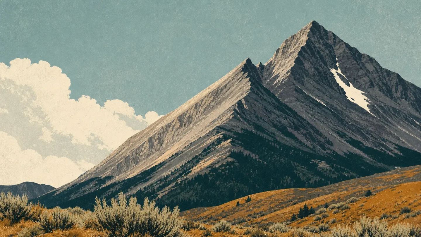
Mount Borah field guide: sagebrush slopes, alpine rock, and Chicken Out Ridge
A practical guide to Idaho's 12,662-foot Mount Borah, tracing its sagebrush-to-alpine elevation story and the exposed scramble that separates a hard hike from a technical objective.

The quick read
Mount Borah is Idaho's highest peak: 12,662 feet (3,859 m) in the Lost River Range. The standard climb starts at about 7,400 feet, gains 5,262 feet, and reaches the summit in less than 3.5 miles one way. The Forest Service calls it difficult; the time cost is roughly 6–7 hours up and 10–12 hours round trip. 1
The number that changes the plan is not the summit elevation. It is the short, steep transition from a sagebrush-and-grass start to an exposed ridge above timberline. Chicken Out Ridge requires hands-and-feet scrambling, and the route usually crosses a steep couloir that may hold packed snow. This is a high-point hike only if your definition of hiking includes exposure, route judgment and a long day. 1
Elevation cross-section
Borah's ecology is compressed by its dry setting and steep relief. The Forest Service page gives a few route-level anchors rather than a complete vegetation survey, so read the sequence below as a field guide to what the climb passes through, not as a contour map of every slope.
| Elevation anchor | Field zone | What to read on the ground |
|---|---|---|
| About 7,400 ft | Sagebrush and grass foothill | The trail leaves the trailhead across a sagebrush/grass slope before turning toward the west ridge. 1 |
| Above the lower ridge | Timberline transition | The Forest Service describes the route as emerging above timberline. The relevant change is from a vegetated lower slope to open, wind-exposed ridge rather than a long, shaded forest walk. 1 |
| Central Idaho alpine context | Alpine community | On the adjacent Sawtooth National Forest, the Forest Service places alpine communities typically above 9,500 feet, where wind, cold, ultraviolet exposure and short growing seasons control plant form. Use that as regional context, not as a Borah-specific boundary. 2 |
| Chicken Out Ridge and the upper couloir | Alpine rock and snow | The route becomes a hand-and-foot scramble on a knife-like ridge, then crosses steep terrain that is often draped with packed snow. Loose shale on the bypass is unstable. 1 |
| 12,662 ft | Summit ridge | Idaho's high point is marked by a U.S. Geological Survey survey marker and a nearby register. The summit is the end of a very steep ridge day, not the end of a maintained alpine trail. 1 |
The landscape also carries a visible earthquake story. The Forest Service describes a sharp line running for more than 20 miles across the base of Borah, formed by the October 1983 Borah earthquake, which it reports as magnitude 7.3. That fault scarp is the geological counterpoint to the summit profile: the mountain rises sharply because the valley floor has moved as well. 1
Plants worth looking for
At the actual Borah trailhead, start with the plants the route page names: sagebrush and grass. They are not a decorative prelude. They explain why the first part of the climb feels dry, open and sun-exposed before the ridge becomes mostly rock and snow. 1
For species-level field marks, the most useful accessible Forest Service reference is its habitat guide for the adjacent Sawtooth National Forest. That page is broader than Borah, so treat these as central-Idaho cues rather than a Borah inventory: mountain big sagebrush, bluebunch wheatgrass and arrowleaf balsamroot in dry shrub and grassland; lodgepole pine, subalpine fir and whitebark pine in higher conifer communities; and cushion phlox, alpine buckwheat, mountain heather and snow willow in alpine ground. 2
A second Lost River Ranger District trail page gives a useful local comparison. Kane Lake's approach passes through aspen patches, then reaches a glacial basin with scattered alpine fir. That is not a claim that the Borah route has the same forest sequence; it is a reminder that the district's high country includes wetter pockets even though Borah's standard approach is dominated by steep, dry exposure. 3
The practical plant rule is simple: do not leave the route to get closer to a flower. Alpine plants are built for wind and a short growing season, and the most fragile ground is often the ground that looks empty. The regional Forest Service guide specifically describes alpine plants as adapted to strong wind, cold temperatures, ultraviolet radiation and short growing seasons. 2
Wildlife field notes
The Salmon-Challis National Forest describes the surrounding forest as habitat for elk, mule deer, white-tailed deer, mountain goats, bighorn sheep, black bears and mountain lions, along with upland birds including blue grouse, spruce grouse, chukar and mountain quail. These are habitat cues for the broader forest, not a promise that a summit day on Borah will produce a sighting. 4
The elevation logic is more useful than a checklist. Elk and deer are associated with the forested and grassland parts of the district; goats and bighorn sheep fit the broken alpine terrain; black bears and mountain lions range through a much larger landscape than the trail itself. The Forest Service also notes that the big-game habitat is extremely rugged, which is exactly the condition a hiker encounters once the Borah route leaves the lower slope. 4
Give wildlife the same space you give the ridge. A mountain goat or sheep on a narrow slope is not a scenic extra if your movement pushes it toward exposure, and a bear encounter is a reason to create distance rather than reach for a camera. The official habitat list tells you what belongs here; it does not tell you what will appear on a particular morning. 4
Route choices and difficulty
There is one main hiking question: are you prepared for the standard route's exposed scrambling, or do you need a lower objective? Borah's Forest Service page describes alternate summit routes as requiring varying degrees of technical climbing, so the normal route should not be confused with an easy alternative to mountaineering. 1
| Route segment or objective | Published profile | Practical rating |
|---|---|---|
| Standard Borah Peak climb | 3.5 miles one way from a 7,400-ft trailhead to the 12,662-ft summit, with 5,262 ft of gain. The Forest Service estimates 6–7 hours up and 10–12 hours round trip. 1 | Very strenuous, difficult. The gain is concentrated, and the return trip arrives after the hardest physical work has already been done. |
| Chicken Out Ridge | A knife-like ridge section where the route uses both hands and feet to move over and around rock. The Forest Service identifies the north side as the more dangerous slope. 1 | Exposed scramble. This is the decision point for hikers who are comfortable on steep ground but not willing to improvise around exposure. |
| Couloir and upper ridge | A steep couloir is usually draped with packed snow; the loose-shale bypass can shift underfoot. 1 | Condition-dependent. Snow, ice or unstable rock can change the risk on the same calendar date. |
| Alternate summit routes | The Forest Service notes that alternate routes require varying degrees of technical climbing. 1 | Technical climbing objective. Do not choose one because the standard route feels crowded or slow. |
Best season and access
The Forest Service identifies early July through mid-August as the best window, when snow is usually at its lowest. Late-August storms can put several inches of snow back at the base, and summer afternoon thunderstorms can build quickly on an exposed ridge. The season is therefore a snow-and-weather window, not a guarantee of dry scrambling. 1
The trailhead is reached from U.S. Highway 93, about 21 miles north of Mackay or 33 miles south of Challis. The access road runs about 2.5 miles from the highway; the Forest Service says the trailhead is for regular vehicles, with four campsites, toilets and no water. Its page says no permits are currently required for climbing or camping, but fire restrictions and weather still need a check before departure. 1
Plan the day around the ridge, not just the summit time. Start early enough to reduce the chance of meeting afternoon thunderstorms above timberline, carry water from a reliable source because the trailhead has none, and turn around if snow or cloud removes the route's margins. The climb is not technically complex in its standard form, but it is unforgiving when steepness, exposure and fatigue arrive together. 1
Field-guide verdict
Borah is the right objective for a hiker who wants a compressed central-Idaho elevation story and is prepared to treat scrambling, weather and retreat as part of the route. In a single day, the climb moves from sagebrush and grass to open ridge, alpine rock, possible snow and a 12,662-foot summit. The ecological transition is clear, but the trail does not make it easy. 1
Choose the standard climb only when the published profile matches your pace and your comfort on exposed hands-and-feet terrain. Choose a lower Lost River outing if the goal is plants, wildlife and landscape reading without a 5,262-foot gain or a knife-edge scramble. Borah's value is not that it turns Idaho's high point into a casual walk; it shows exactly where a strenuous hike becomes a route-management problem.
References
- 1Borah Peak - Salmon-Challis National Forest
fs.usda.gov
- 2
- 3
- 4
This story was produced automatically by a channel. One sentence is all it takes for Neodrop to keep producing for you.