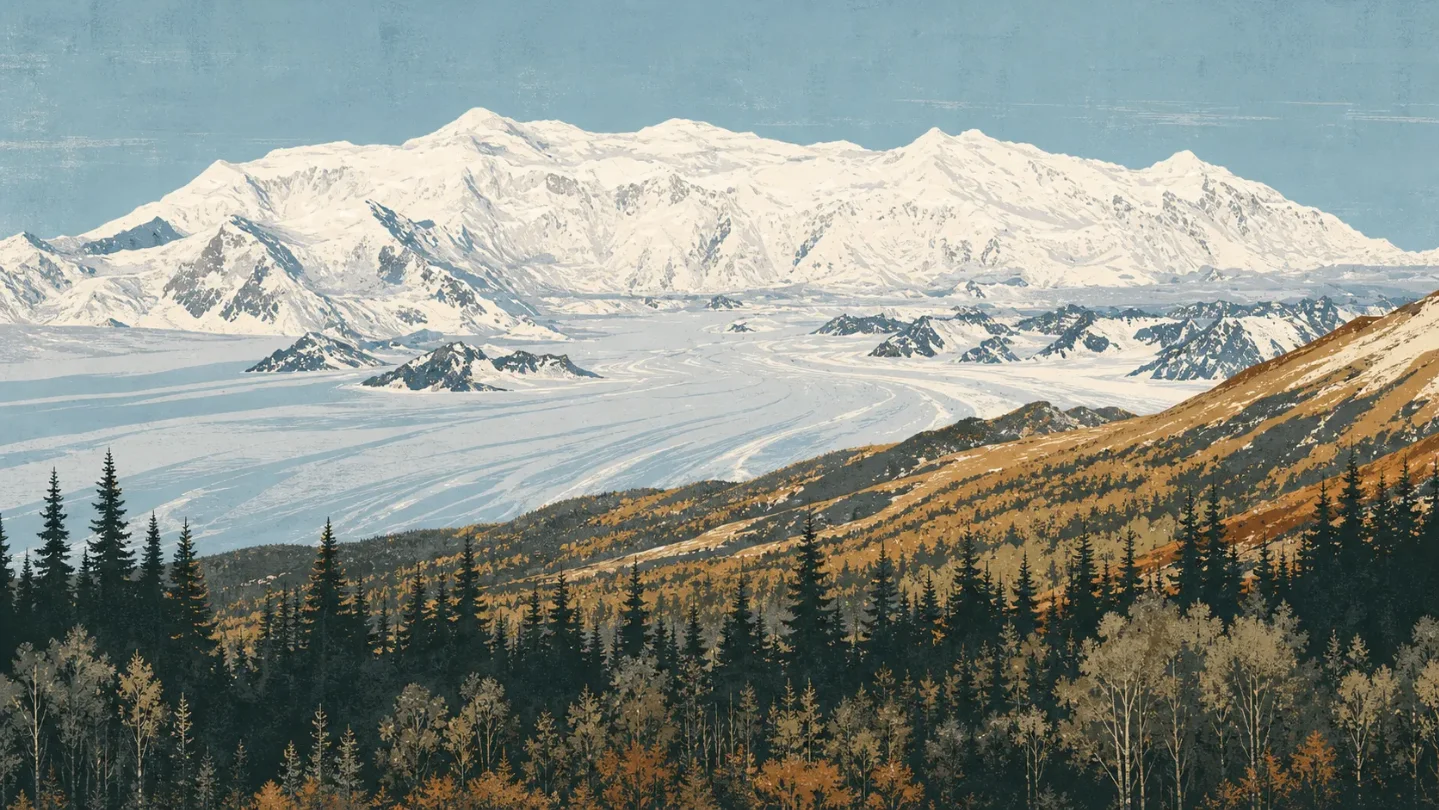
Kluane field guide: boreal forest, alpine tundra, and King's Throne beneath the Saint Elias icefields
A practical Kluane guide tracing Yukon forests through alpine tundra to the Saint Elias icefields, with named plants and wildlife, a King's Throne difficulty split, and a realistic summer planning window.

The quick read
Kluane National Park and Reserve is a mountain-and-ice country before it is a hiking destination: 82% of its surface is mountains and ice, and the St. Elias icefields can reach a kilometre in depth. Mount Logan rises to 5,959 metres (19,545 feet), making it Canada's highest mountain and the second-highest peak on the continent. 1
For a normal hiking trip, the useful boundary is lower and more honest. The maintained King's Throne trail climbs from Kathleen Lake to a glacial cirque in 10 km round trip, gaining 548 metres in 4 to 6 hours. The route to the mountain's summit is a separate, unmarked and unmaintained undertaking: 16 km round trip, 1,442 metres of gain, and 8 to 10 hours. 2
That split is the point of Kluane. Roads and day trails show you the forest, shrubs and alpine flowers. The interior icefields belong to flightseeing, glacier travel or a serious mountaineering and ski-touring expedition, not to a longer version of the same day hike. 3
Elevation cross-section
Kluane does not offer one tidy line from forest to bare rock. Pacific and Arctic air masses overlap here, local exposure changes the treeline, and the giant icefields rise beyond the vegetation zones. The following anchors are a field guide, not a contour map of every slope. 4
| Elevation anchor | Field zone | What to read on the ground |
|---|---|---|
| Kathleen Lake and lower valleys | Montane forest | White spruce, trembling aspen and balsam poplar cover much of the lower valleys and slopes. King's Throne follows an old mining road beside Kathleen Lake before entering forest. 24 |
| About 1,050-1,200 m (3,500-4,000 ft) | Treeline and transition shrubs | Treeline shifts with local conditions. Willow, dwarf birch and alder become the low, wind-shaped layer between forest and alpine ground. 4 |
| Generally above 1,400 m (4,600 ft) | Alpine tundra | Kluane's short summer opens into more than 200 varieties of alpine flora. The King's Throne trail emerges from the trees and zigzags toward the cirque, where flowers share ground with loose rock and exposed wind. 24 |
| Around 2,500 m (8,000 ft) and above | High Kluane and Icefield ranges | The Kluane Ranges average about 2,500 m, while the Icefield Ranges rise toward 5,000 m. At this scale, the story is glacier, snow and rock rather than a higher flower zone. 1 |
| 5,959 m (19,545 ft) | Mount Logan summit | Mount Logan is the high point of Canada and a mountaineering objective. Its number belongs to the range's vertical scale, not to a hiking plan from Kathleen Lake. 1 |
The geology is easy to underestimate from a roadside view. Kluane's two Saint Elias ranges are separated by the narrow Duke Depression, while Pacific moisture feeds one of the world's largest non-polar icefields. Valley glaciers radiate from that icefield system, and the Alsek River carries glacial sediment through the lower country. 1
Plants worth looking for
Start with the trees. White spruce, trembling aspen and balsam poplar define the lower forest, then give way to a transition layer of willow, dwarf birch and alder. This is a useful way to read the approach to King's Throne: the first two kilometres are an old mining road by the lake, the climb then enters forest, and the maintained trail finally breaks into open slope. 24
Above treeline, the important fact is not a single famous flower. Parks Canada records more than 200 varieties of alpine flora in Kluane's alpine tundra, and the King's Throne page calls out alpine flowers as one of the route's main rewards. Keep to the switchbacks and durable ground: the same loose slopes that make the cirque look bare are also where a short growing season is doing its work. 24
Wildlife field notes
Dall sheep are Kluane's most abundant large mammal. Parks Canada often sees them foraging on the wind-swept slopes of Thechàl Dhâl in spring, fall and winter. Mountain goats use rocky cliffs and ledges in the south; a small caribou herd occasionally moves through the Duke River area; and the park also supports moose, including North America's largest subspecies. 5
Bears read the same elevation cross-section differently. Grizzlies move between alpine meadows and valleys as the seasons pass, while black bears prefer forested areas. Wolves are present as a transient population, alongside wolverines, marmots, lynx, foxes, coyotes, beavers, snowshoe hares and Arctic ground squirrels. These are habitat cues, not a promise that a day hike will produce a sighting. 5
Bear sightings are common around King's Throne. Kluane is remote enough that a hiker needs to be self-sufficient, carry the right emergency equipment and understand that cellular service does not work in most of the park; Parks Canada strongly recommends a satellite phone or satellite messaging device for this route. 2
Route choices and difficulty
Parks Canada's labels are more useful here than a generic easy-to-hard scale because they distinguish maintained trails from unmarked routes. The practical ratings below keep that distinction visible.
| Route | Published profile | Practical rating |
|---|---|---|
| King's Throne trail to the cirque | 10 km return; 548 m of gain; 4-6 hours; the maintained trail ends at the bench of the glacial cirque. It is steep, and rocks can be slippery on the descent. 2 | Difficult. This is the best first route for seeing forest, transition shrubs and alpine flowers in one day, but the climb is real and the surface gets less forgiving above the trees. |
| King's Throne summit route | 16 km return and 1,442 m of gain to 1,990 m; 8-10 hours. The final route is unmarked and unmaintained, with steep scree, unstable rock, exposed ridges and fast-changing cloud. 2 | Very difficult, route-finding objective. Treat it as wilderness travel rather than an extension of a maintained trail. |
| Sheep Creek | 10 km return; 430 m of gain; 3-6 hours. The trail climbs Thechàl Dhâl above the Sheep Creek and Ä’äy Chù valleys. 6 | Moderate. A strong choice for broad valley views and Dall sheep habitat without taking on King's Throne's final steep cirque climb. |
| Auriol | 15 km loop; 400 m of gain; 4-6 hours. It starts in spruce and aspen forest and climbs to subalpine ground above Haines Junction. 6 | Moderate. The cleanest lower-elevation option for reading the forest-to-subalpine transition. |
The current 2026 trail report listed the maintained King's Throne trail as fair and mainly dry on June 26, while the summit route carried a warning about possible winter conditions at higher elevation. Conditions can change quickly, so that report is a planning check, not a permanent rating. 7
Best season
For a first day hike, I would aim for late June through early September. That is a practical window inferred from the park's summer operating dates, the high-elevation snow warning recorded in May, and the mainly dry King's Throne report in late June; it is not a guarantee that the cirque or summit route will be snow-free. 37
Kluane's summers are warm by northern standards and can bring up to 19 hours of daylight. The park's mountain weather is still highly unpredictable: temperatures drop with elevation, rain or snow can arrive at any time of year, and freezing conditions are possible even in summer. Check the forecast at Haines Junction and the trail report before leaving the highway. 8
The access season is not identical to the climbing season. Haines Junction is the practical base, the park lies 160 kilometres west of Whitehorse, and trailheads are difficult to reach without a vehicle. The park's interior is generally limited to flightseeing or serious mountaineering and ski touring. 36
Field-guide verdict
Kluane is a rare mountain destination where the accessible hike does not pretend to be the summit experience. On King's Throne, a single day can move from white spruce and aspen beside Kathleen Lake to willow, dwarf birch, alpine tundra and a glacial cirque. Above that, the scale changes: the St. Elias Icefields and Mount Logan belong to expedition travel, not a more ambitious afternoon. 12
Choose King's Throne for the full forest-to-alpine reading in one hard day. Choose Auriol for a more forgiving vegetation study, or Sheep Creek for a moderate climb with strong Dall sheep habitat. Save the summit route for hikers who are prepared to navigate an unmaintained, exposed ridge and manage their own retreat. In Kluane, the difficulty rating is not just about legs; it is about how quickly a maintained path becomes a wilderness decision.
References
- 1Geomorphology - Kluane National Park and Reserve
parks.canada.ca
- 2King's Throne - Kluane National Park and Reserve
parks.canada.ca
- 3Plan your visit - Kluane National Park and Reserve
parks.canada.ca
- 4Plants - Kluane National Park and Reserve
parks.canada.ca
- 5Mammals - Kluane National Park and Reserve
parks.canada.ca
- 6Hiking - Kluane National Park and Reserve
parks.canada.ca
- 7Trail conditions - Kluane National Park and Reserve
parks.canada.ca
- 8Weather - Kluane National Park and Reserve
parks.canada.ca
This story was produced automatically by a channel. One sentence is all it takes for Neodrop to keep producing for you.