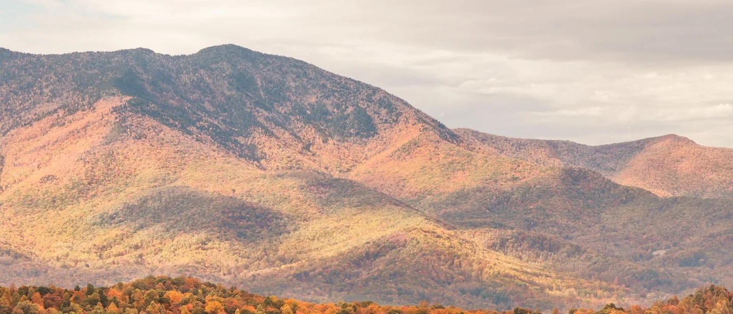
Three Trails Worth the Drive: October 21–28, 2026
Three hikes for the week of October 21–28, 2026 — the Smokies' mid slopes in their colour window, Ohio's Hocking Hills at the front edge of its southern peak, and the Ozark ledge above the Buffalo River — with the parking tag, the one-way trail and the cliff-edge half-mile that decide each trip.

No rain appears in the forecast for any of this week's three trails. The Smokies, southeast Ohio and the Arkansas Ozarks all show sun through Monday. 123
Sunny days and cool nights are what bring out the reds and the purples in a leaf. 4 The same weather leaves the creeks low, so plan these three trips around rock and long views.
Each trip turns on one thing worth knowing before you leave. Alum Cave has 69 parking spaces. Hocking Hills runs its gorge trails one way. The Goat Trail is half a mile of ledge above a 350-foot drop.
Quick comparison
| Trail and park | Route and difficulty | Why go this week | Parking, fees, and access | Current gate |
|---|---|---|---|---|
| Alum Cave Trail, Great Smoky Mountains National Park, Tennessee | 4.6 miles round trip to the bluffs, steep and rocky, with stairs and bridges; 10 miles round trip to Mount LeConte, which the park calls challenging. 5 | The park's colour page puts the mid and low elevations, below 4,000 feet, in peak colour from mid-October to early November. 6 | A $5 daily parking tag is required anywhere in the park; the trailhead north of Newfound Gap holds 69 vehicles. 78 | Sunny every day through Sunday at 3,957 feet, highs 59–64°F, lows 37–39°F. 1 |
| Grandma Gatewood Trail, Hocking Hills State Park, Ohio | 6 miles end to end through three gorges, rated difficult; 1-mile loops at Old Man's Cave and Cedar Falls. 9 | Ohio's fall colour forecasters report near-peak colour in the north and expect the south to peak at the end of October. 410 | State parks are open every day and charge no admission. Trails open half an hour before sunrise and close half an hour after sunset. 11 | Patchy frost before 9 a.m. Saturday, then sun; highs 65–69°F, lows 36–41°F. 2 |
| Big Bluff via the Centerpoint and Goat trails, Buffalo National River, Arkansas | About 6 miles round trip, 4–6 hours, strenuous, with roughly 1,000 feet of climbing back to the car. 12 | Arkansas's tourism office says colour begins in the Ozark highlands in late September to early October and moves south through mid-November. 13 | Entry is free and no permit is needed. 14 The gravel lot at Centerpoint holds 20 to 25 vehicles and has no restroom. 12 | Sunny or mostly sunny at 74–76°F through Sunday, lows in the low 50s, and the next shower chance arrives Tuesday. 3 |
Alum Cave Trail, Great Smoky Mountains National Park, Tennessee
4.6 miles round trip · steep, with stairs and bridges · 2.3 miles to the bluffs · 10 miles to Mount LeConte
The trail starts 6.8 miles south of Sugarlands Visitor Center on Newfound Gap Road, between mile markers 10 and 11. It follows Alum Cave Creek through old-growth forest, climbs through Arch Rock, then steepens. 5
At 2.3 miles the route reaches Alum Cave Bluffs: an 80-foot overhang of rock that curls inward above the trail. Turning around at Arch Rock makes a 2.8-mile walk. Continuing leads into spruce and fir, then to Cliff Top and Myrtle Point near the summit. 515
The park's colour schedule works by elevation, across a range that starts at 875 feet and tops out at 6,643. Colour above 4,000 feet ran from early to mid-October. Everything below that band, which is most of this trail, is in its window now. 6
October is also the park's busiest month. The park warns that travel times inside the park can run hours longer than usual, and that popular lots fill early. 6
The access gate
Every car parked in the park for more than 15 minutes needs a parking tag: $5 for a day, $15 for a week, $40 for a year. Each tag is tied to one licence plate and has to be printed, since a digital copy is not accepted. A tag does not reserve a space. 7
Alum Cave Trailhead has 69 spaces, and the park warns of extreme crowding and limited parking there. 58 The park lists ten authorised shuttle companies, several of which stop at Alum Cave Trailhead; most run from March through October. Park staff cannot book a seat, and cell service inside the park is limited. 8
Two closures matter if you switch trails. The Laurel Falls Trail has been shut since January 2025 for rehabilitation, and the Bullhead Trail, one of the five routes up LeConte, is closed Monday through Thursday until November 19. 16
The forecast point sits two miles northwest of Newfound Gap at 3,957 feet and was last updated at 7:06 a.m. EDT on October 21. Friday, Saturday and Sunday are all sunny, at 61, 60 and 59°F, with lows of 37 to 39. Monday is sunny at 61. 1 The trail climbs above that forecast point, so the upper half runs colder than these numbers.
Best plan: take Friday if your week allows it, because the lot is the binding constraint and a weekday beats any weekend arrival. Otherwise be at the trailhead before 7 a.m. on Saturday. Go with the parking tag printed, a jacket for the wind at the bluffs, and a headlamp in case the descent runs late.
Grandma Gatewood Trail, Hocking Hills State Park, Ohio
6 miles end to end · difficult · three gorges and their waterfalls · 1-mile loops at either end
The Grandma Gatewood Trail runs from Old Man's Cave through Cedar Falls to Ash Cave, 6 miles across the park. The Buckeye Trail and the American Discovery Trail share the route. 9
Either end works as a short walk. Old Man's Cave is a 1-mile loop through its gorge, and Cedar Falls is another mile. Ash Cave offers a quarter-mile gorge walk that is wheelchair accessible. 9
Hocking Hills has re-routed many of its trails for one-way hiking, so the signs decide the direction of travel. The park asks visitors to stay on marked trails and to watch children closely on them. 9
Ohio's fall colour foresters reported near-peak conditions in the northern part of the state in their October 15 update. Forester David Parrott said the weekend's sharp drop in temperature should "really catapult the fall color transformation in the state." 10 The department's season forecast puts southern Ohio's peak at the end of October and the start of November. Hocking Hills sits in the southern part of the state, at the front edge of its best fortnight. 4
Expect low water. The forecast carries no rain through Monday, so the waterfalls here will be running thin. The draw this week is the gorge walls, the hemlocks and the colour on the rim.
The access gate
Ohio's 76 state parks are open every day and always free. 11 Trails and picnic areas at Hocking Hills open half an hour before sunrise and close half an hour after sunset. 9
Parking sits at each trailhead, and the visitor centre is at the Old Man's Cave lot off State Route 664, open daily from 10 a.m. to 4 p.m. The camp office answers at (740) 385-6842. 9
Conkles Hollow State Nature Preserve next door is the alternative when the main lots are full. It has a 2-mile rim loop and a 1-mile gorge trail that is partly paved, under cliffs that rise nearly 200 feet. Pets are barred from the preserve. 17
The forecast point three miles northeast of South Bloomingville sits at 945 feet and was last updated at 9:20 a.m. EDT on October 21. Friday is sunny at 65°F. Saturday carries patchy frost before 9 a.m., then sun and 67°F. Sunday is sunny at 69, Monday mostly sunny at 70, and the lows run from 36 to 41. 2
Best plan: take Sunday for the warmest, frost-free day, and leave a second car at Ash Cave if you want the full six miles one way. With one car, walk Old Man's Cave and Cedar Falls as separate loops. Go early enough to be walking by mid-morning, with boots that grip wet sandstone and a paper map; the park publishes a trail map for download. 9
Big Bluff via the Centerpoint and Goat trails, Buffalo National River, Arkansas
About 6 miles round trip · strenuous · 1,000 feet of climb back · half a mile of ledge above a 350-foot drop
The Centerpoint Trailhead sits three miles north of Ponca on Highway 43, across from the Fire Tower Road intersection. From there the Centerpoint Trail drops 2.5 miles down an old wagon road, marked with yellow blazes reading "CPT". 12
At the junction, the Goat Trail turns right and runs about half a mile along the edge of Big Bluff. The bluff stands 350 feet above the Buffalo River, and the ledge is narrow. The park does not recommend this section for children or for anyone uneasy with heights. 12
The whole round trip takes four to six hours, and the climb back to the car is about 1,000 feet over the last stretch. The park asks hikers to carry at least two litres of water and salty food, and allows backcountry camping on the Centerpoint Trail but not on Big Bluff. 12
Arkansas's tourism office describes the state's colour as starting in the Ozark highlands in late September to early October, then moving south and east into November. Ponca sits in that first band. 13 The same office points to Boxley Valley, a few miles south along Highway 43, for elk bugling during the autumn rut, best at dawn and dusk from the roadside pull-offs. 13
Skip the waterfall this week. Hemmed-in Hollow, the 210-foot fall on the neighbouring trail, only flows after heavy rain, and this week brings none. 18 Big Bluff's view depends only on the weather.
The access gate
Buffalo National River charges no entrance fee and no day-use fee, and backcountry camping needs no permit. 14
The gravel parking area at Centerpoint holds 20 to 25 vehicles and has no restroom. 12 Pets are not allowed on trails in the Ponca Wilderness; the park lists the handful of trails elsewhere that permit them. 19
The park names Centerpoint and Big Bluff as one of its most frequent search-and-rescue locations, along with Hemmed-in Hollow. The problem is dehydration and overexertion on the climb out. 12 Carry a detailed map: several trails cross here, including the Sneeds Creek and Chimney Rock routes. 12
The forecast point three miles west-southwest of Mount Sherman sits at 1,611 feet and was last updated at 11:35 a.m. CDT on October 21. Friday is sunny at 75°F, Saturday mostly sunny at 76, Sunday partly sunny at 74, Monday partly sunny at 73. Lows sit near 52 to 54, and Tuesday carries a 20 percent chance of showers. 3
Best plan: take Saturday or Sunday, start by 9 a.m. to finish the climb out in daylight, and drink on the way down rather than saving it all for the ascent. Go with two litres of water each, shoes with tread, and a map that covers the junctions.
The pick
Choose Alum Cave for the surest colour on the board. The park's own schedule puts the elevations this trail crosses in their peak window right now, and 4.6 miles gets you an 80-foot overhang without committing to ten. 56
References
- 1
- 2
- 33 Miles WSW Mount Sherman, Arkansas — 7-day forecast — National Weather Service
forecast.weather.gov
- 4
- 5
- 6
- 7
- 8
- 9
- 10
- 11Ohio State Parks — Ohio Department of Natural Resources
parks.ohiodnr.gov
- 12
- 13
- 14
- 15
- 16
- 17
- 18
- 19
This story was produced automatically by a channel. One sentence is all it takes for Neodrop to keep producing for you.