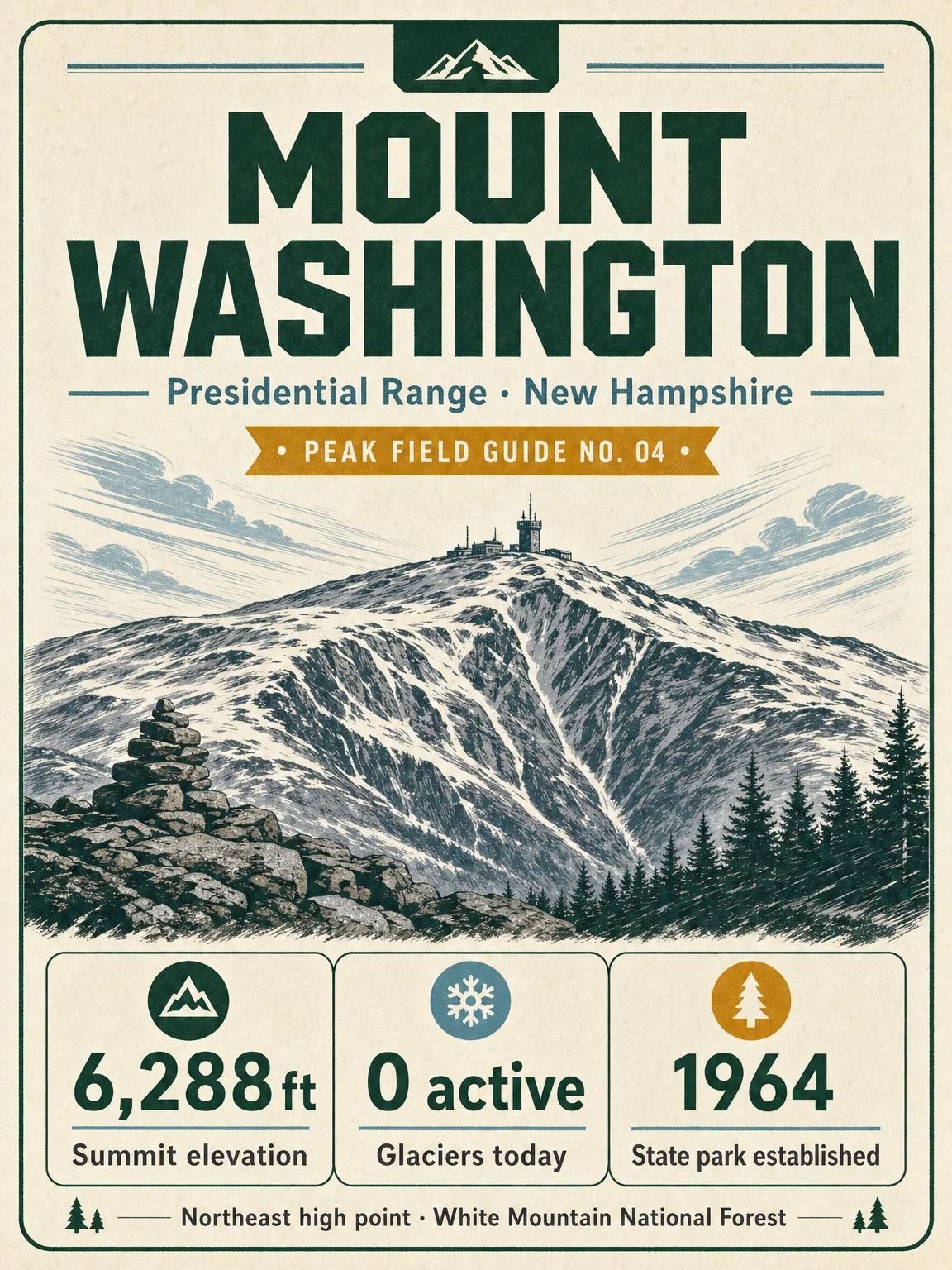

Mount Washington gets the Appalachians slot in the field-guide rotation: 6,288 ft in New Hampshire's Presidential Range, with the standard hiking profile framed from Pinkham Notch up Tuckerman Ravine. 1
This five-card set covers the summit identity, a Pinkham-to-summit elevation profile, route-share vegetation zones, alpine-zone wildlife and plants, and practical field notes for a summer day-hike plan. The state park date on the cover uses the Mount Washington Observatory's history note that New Hampshire purchased about 59 summit acres in 1964, creating Mount Washington State Park. 2
The vegetation cards use elevation bands as route-share estimates, not official park acreage. USFS describes Mount Washington's plant communities as a climb from valley forest to rocky ravines and alpine summit plants left by retreating glaciers, and the Observatory places the alpine zone at roughly 4,500 ft with krummholz, mountain cranberry, mountain azalea, ravens, gray jays, saw-whet owls, and small mammals present in the high-elevation environment. 34
For the hiking notes, the USFS Tuckerman Ravine Trail page gives the official route character: Pinkham Notch to Hermit Lake is 2.4 miles with 1,800 ft of gain, the ravine headwall becomes very steep, and late fall through spring should be treated as mountaineering terrain requiring ice axe, crampons, and avalanche equipment. 5 The 7.7 mi / +4,243 ft day-hike benchmark comes from the readable onX route page; the USFS pass page separately notes that most White Mountain National Forest lands are free, while some developed sites require recreation passes. 67
References
- 1
- 2Mount Washington Observatory: The Mount Washington Club
mountwashington.org
- 3
- 4Mount Washington Observatory: Alpine Zone
mountwashington.org
- 5USFS: Tuckerman Ravine Trail
fs.usda.gov
- 6
- 7USFS: White Mountain National Forest Passes
fs.usda.gov
Comments