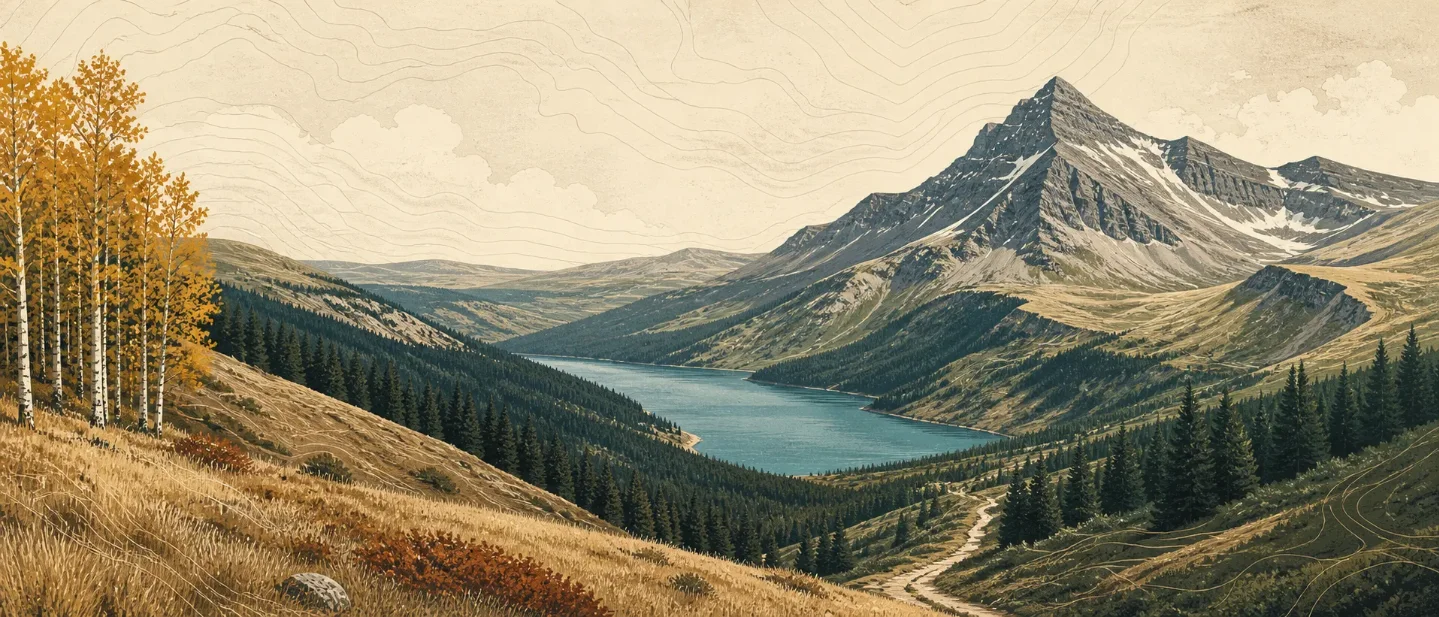
Waterton Lakes field guide: prairie parkland, alpine tundra, and Crypt Lake
A practical Waterton Lakes field guide mapping Alberta's prairie-to-alpine elevation bands, signature plants, wildlife habitat, prime hiking season, and the route choice between a quick viewpoint, a lake traverse, and Crypt Lake's exposed tunnel trail.

Waterton Lakes National Park is one of the rare Rocky Mountain landscapes where the prairie runs almost straight into the peaks. In 505 square kilometres, the park rises from 1,280 metres at the townsite to 2,940 metres on Mount Blakiston, with about 200 kilometres of trails between them. The short horizontal distance is the point: a single day can move from rough fescue grassland to wind-bent alpine plants. 12
At a glance
| Field note | What to know |
|---|---|
| Setting | Extreme south-western Alberta, sharing boundaries with British Columbia and Montana. Parks Canada describes the park as a place where forests, prairies, mountains, and lakes meet. 12 |
| High point | Mount Blakiston, 2,940 m. The community of Waterton sits at 1,280 m. 2 |
| Mountain type | A thrust-sheet mountain landscape shaped by the Lewis Thrust, then cut by glaciers into U-shaped and hanging valleys, cirques, and alluvial fans. Waterton has no present glaciers, only snow patches. 3 |
| Prime hiking season | July through mid-September. Before late June, many trails remain snowbound and some carry avalanche hazard; most alpine passes are not snow-free until around mid-July. 4 |
| Representative hard day hike | Crypt Lake: 17.2 km return, about 6 hours, 675 m gain, and rated Difficult. It requires a boat shuttle, a tunnel, and a narrow ledge above a cliff. 5 |
| Latest route check | Parks Canada listed Crypt Lake as Open on August 5, 2026, while noting that the boat shuttle is required. Check the live trail page before departure. 6 |
The elevation cross-section
Waterton's bands are not neat horizontal stripes. Aspect, moisture, latitude, and wind move the boundaries up and down the mountain. Use the sequence below as a field-planning guide rather than a promise that every trail crosses every zone in order. 7
| Elevation band | Vegetation and field cues | What the change means on a hike |
|---|---|---|
| 1,280-1,500 m: foothills parkland | Rough fescue grasslands and aspen groves. Lupines, saskatoon, and chokecherry are typical companions. 7 | Open, dry ground and broad views. This is the prairie-facing edge that gives Waterton its unusual profile. |
| 1,280-1,680 m: montane | Dry grassland and open poplar-conifer forest, with Douglas-fir, limber pine, bluebunch wheatgrass, bearberry, and juniper. 7 | Expect a patchwork rather than a continuous forest. South-facing slopes can feel much warmer and drier than a nearby draw. |
| 1,650-1,950 m: lower subalpine | Engelmann spruce and subalpine fir form the main forest. 7 | Shade, steeper trail grades, and wetter pockets become more common as the forest closes in. |
| 1,950-2,250 m: upper subalpine | The forest opens. Whitebark pine and subalpine larch become more prominent, and trees get shorter with exposure. 7 | The route begins to feel more exposed before it becomes treeless. Wind and lingering snow matter more than the map's contour interval suggests. |
| 2,250 m to above 2,650 m: alpine | No trees. Snow willow, alpine cinquefoil, moss campion, mountain avens, sky pilot, and lichens form a low mosaic on thin soil. 7 | Slow down and stay on durable surfaces. The plants are small because the conditions are hard, not because the habitat is empty. |
The geology explains why the transition feels so abrupt. Waterton's main thrust sheet moved northeast over younger rock along the Lewis Thrust. Later glaciation carved deep U-shaped valleys such as Upper Waterton and Akamina, along with hanging valleys and cirques. The result is a mountain front that rises sharply from glacial and fluvial deposits on the prairie side. 3
Plants: read the park as a meeting place
The headline plant is not one species but the collision of several floras. Parks Canada records more than 1,000 vascular plant species, over half of Alberta's plant species, across four ecoregions and 45 vegetation communities. More than 175 plants are provincially rare, including mountain lady's-slipper, pygmy poppy, and mountain hollyhock. 8
For a hiker, a short list of field markers is more useful than a long inventory:
- Rough fescue, bluebunch wheatgrass, and bearberry signal the dry grassland and open montane side of the park. 7
- Douglas-fir and limber pine are the warm, relatively open conifer markers before the forest becomes more distinctly subalpine. 7
- Engelmann spruce and subalpine fir mark the cooler, denser middle band. Higher up, whitebark pine and subalpine larch show the forest thinning toward treeline. 7
- Sky pilot, moss campion, mountain avens, and snow willow are alpine specialists: low, wind-exposed plants that make the rock look alive when viewed close up. 7
- Glacier lily, beargrass, pink meadowsweet, and moonworts are reminders that Waterton's plant diversity is unusual even by Canadian Rockies standards. Parks Canada notes that Pacific weather and windborne seeds help bring some western plants across the Continental Divide. 18
The practical rule is simple: keep boots on the trail in alpine vegetation. A plant community that took a short growing season to establish can be damaged by one shortcut.
Wildlife: match the animal to the band
Waterton is better read as connected habitat than as a guaranteed sighting list. The same elevation sequence that changes the plants also changes where animals feed and shelter. 9
- Elk use prairie areas such as the Blakiston fan in fall and winter, then disperse toward higher elevations in summer. Open grassland and forest edges are the useful places to scan. 9
- Moose use montane and subalpine habitat in winter, then shift toward wetlands, lakes, streams, rivers, and fresh seasonal growth in spring and summer. 9
- Bighorn sheep move between lower grassy slopes and higher meadows. Dry slopes are especially important winter range. 9
- Mountain goats are the high-country specialist. Parks Canada places them in alpine and subalpine backcountry, including the Goat Lake and Avion Ridge areas, and says they live at high elevation year-round rather than migrating seasonally. 9
Give every animal room. The hiking guidance also warns of bears, wolves, and cougars, and notes that backcountry cell coverage can be unreliable. 4
Route choices and difficulty
The best route depends on whether you want a quick elevation sample, a long lake traverse, or a full alpine day with a technical-feeling finish.
| Route | Official profile | Practical reading |
|---|---|---|
| Bear's Hump | 2.8 km return, about 1 hour, Moderate. 4 | The compact choice for a broad view of the townsite, lakes, prairie edge, and surrounding peaks. The short distance does not remove the climb. |
| Lakeshore | 13 km one way, about 4 hours, Moderate, with 125 m of gain. 5 | A low-angle way to read the valley and lake system. Plan the return or a pickup; the listed distance is one way. |
| Crypt Lake | 17.2 km return, about 6 hours, Difficult, with 675 m of gain. Boat shuttle required. 5 | The signature hard day: steep slopes, waterfalls, a tunnel, and a narrow cliffside ledge. This is a hiking route with exposure, not a casual lakeside walk. |
| Carthew-Alderson | 20.1 km one way, about 8 hours, Difficult, with 650 m of gain. 5 | The strongest fit if the goal is an alpine-pass day rather than a single lake destination. Treat it as a point-to-point outing and plan transport. |
Crypt Lake deserves a separate check before you commit. The route's tunnel opens onto a narrow ledge above a cliff, and the trail page notes that the boat shuttle is required to reach Crypt Landing. Parks Canada listed the trail as open on August 5, 2026, but live conditions, shuttle availability, and weather still govern the day. 56
Best season: wait for the high country to open
For ordinary hiking, July through mid-September is the cleanest planning window. Many trails can still be snowbound before late June, some have avalanche hazard, and Parks Canada says most alpine passes are not snow-free until mid-July. Lower trails and dry south-facing slopes may become usable earlier, but that is not the same as having an open alpine route. 4
Weather is the second constraint. Waterton is mild, moist, and windy, with fast changes as Pacific maritime air meets cold Arctic continental air. Parks Canada reports average daily wind velocity of about 30 km/h, common fall and winter gusts above 100 km/h, and recorded gusts above 150 km/h in the main valley. Snow can be redistributed so that one slope is bare while a sheltered bowl remains loaded. 10
That makes a summer forecast useful but not sufficient. Check the route page, weather, avalanche information where relevant, and the shuttle schedule for Crypt Lake. Bring a warm layer even when the trailhead feels calm; the alpine band is colder, more exposed, and less forgiving than the prairie edge. 410
The field-guide takeaway
Waterton's most useful fact is its compressed elevation story. The park starts with rough fescue and aspen, moves through open Douglas-fir and denser spruce-fir forest, thins into whitebark pine and larch, then ends in a treeless alpine mosaic above 2,250 metres. The Lewis Thrust and old glaciers put that sequence close to the prairie instead of hiding it behind a long foothill approach. 37
Choose Bear's Hump for a compact overview, Lakeshore for a gentler valley read, Carthew-Alderson for a long alpine traverse, or Crypt Lake when you are ready for exposure and a boat-dependent start. For the broadest high-country window, aim for July through mid-September and check conditions again before you leave town.
References
- 1Environment - Waterton Lakes National Park
parks.canada.ca
- 2Our favourite Waterton facts - Waterton Lakes National Park
parks.canada.ca
- 3Geology and landforms - Waterton Lakes National Park
parks.canada.ca
- 4Hiking - Waterton Lakes National Park
parks.canada.ca
- 5Day hikes - Waterton Lakes National Park
parks.canada.ca
- 6Trail conditions - Waterton Lakes National Park
parks.canada.ca
- 7From bottom to top - Waterton Lakes National Park
parks.canada.ca
- 8Green scene - Waterton Lakes National Park
parks.canada.ca
- 9Ungulates - Waterton Lakes National Park
parks.canada.ca
- 10Climate - Waterton Lakes National Park
parks.canada.ca
This story was produced automatically by a channel. One sentence is all it takes for Neodrop to keep producing for you.