Three Trails Worth the Drive: September 30–October 7, 2026
Compare three first-week-of-October hikes — Algonquin's maple ridges in Ontario at 90 percent colour, Michigan's Escarpment Trail above Lake of the Clouds at its projected peak, and Washington's golden-larch climb to Lake Ingalls — with the permits, passes, small parking lots and day-by-day weather that decide each trip.

Three autumn clocks are running at once this week, and they disagree about how much time is left. Algonquin Provincial Park in Ontario reported its maple canopy at 90 percent colour change on September 29 with only 10 percent leaf fall, which is close to as good as that show gets. The western Upper Peninsula of Michigan is arriving at its projected colour peak, and the drive ends at an overlook above Lake of the Clouds. In Washington's Teanaway country, the larches are in the short stretch of the year when their needles turn gold. Algonquin is the one that wants a permit bought online before you leave; the other two are paid at the gate.
Quick comparison
| Trail | Route and difficulty | Why go this week | Parking, fees, and access | Current gate |
|---|---|---|---|---|
| Centennial Ridges Trail, Algonquin Provincial Park, Ontario | Difficult; a 10.4 km loop over two high ridges, with lookouts and fall warnings posted. 1 | Algonquin stood at 90 percent colour change with 10 percent leaf fall on September 29, and the park's maple canopy is at its season best. 2 | $21 a vehicle for a daily vehicle permit, sold online up to five days ahead and not in person. Designated parking only. 3 | A 70 percent chance of showers Thursday, then a dry 18°C Friday and a sunny 16°C Saturday with clear nights near freezing. 4 |
| Escarpment Trail and Lake of the Clouds, Porcupine Mountains Wilderness State Park, Michigan | Moderate; 4.3 miles one way along the ridge, point to point, with large elevation changes. 5 | The western Upper Peninsula is projected to peak on September 30, and the ridge looks down on Lake of the Clouds from 400 feet up. 67 | Recreation Passport required for vehicle entry: $12 a day or $42 a year on out-of-state plates. Parking at the overlook on M-107; toilets, no water. 78 | Sunny and 58°F Friday with a breezy northwest wind, a 40 percent chance of showers Saturday afternoon, then mostly sunny and 55°F Sunday. 9 |
| Lake Ingalls, Okanogan–Wenatchee National Forest, Washington | Hard; 9.0 miles round trip, 2,500 feet of gain, high point at 6,500 feet. 10 | The larch needles turn gold in the last days of September and the first of October, and the eastern Cascades are where the larches grow. 11 | $5 a vehicle a day or a Northwest Forest Pass, plus a free self-issue wilderness permit at the trailhead. Small lot; dogs prohibited. 1213 | Sun on Friday, Saturday and Sunday at 61°F to 67°F, with a settled dry stretch at the trailhead's 4,770 feet. 14 |
Centennial Ridges Trail, Algonquin Provincial Park, Ontario
10.4 km loop · difficult · parking and toilets at the trailhead
Centennial Ridges Trail begins at kilometre 37.6 of Highway 60, inside the park's West Gate, and climbs over two high ridges in a 10.4-kilometre loop. Algonquin rates the route difficult and marks its scenic lookouts with fall warnings, so the reward and the exposure arrive in the same place. 1 The park's trails stay open year-round, with day-use permits required for all of them and the colour season setting the timing. 115
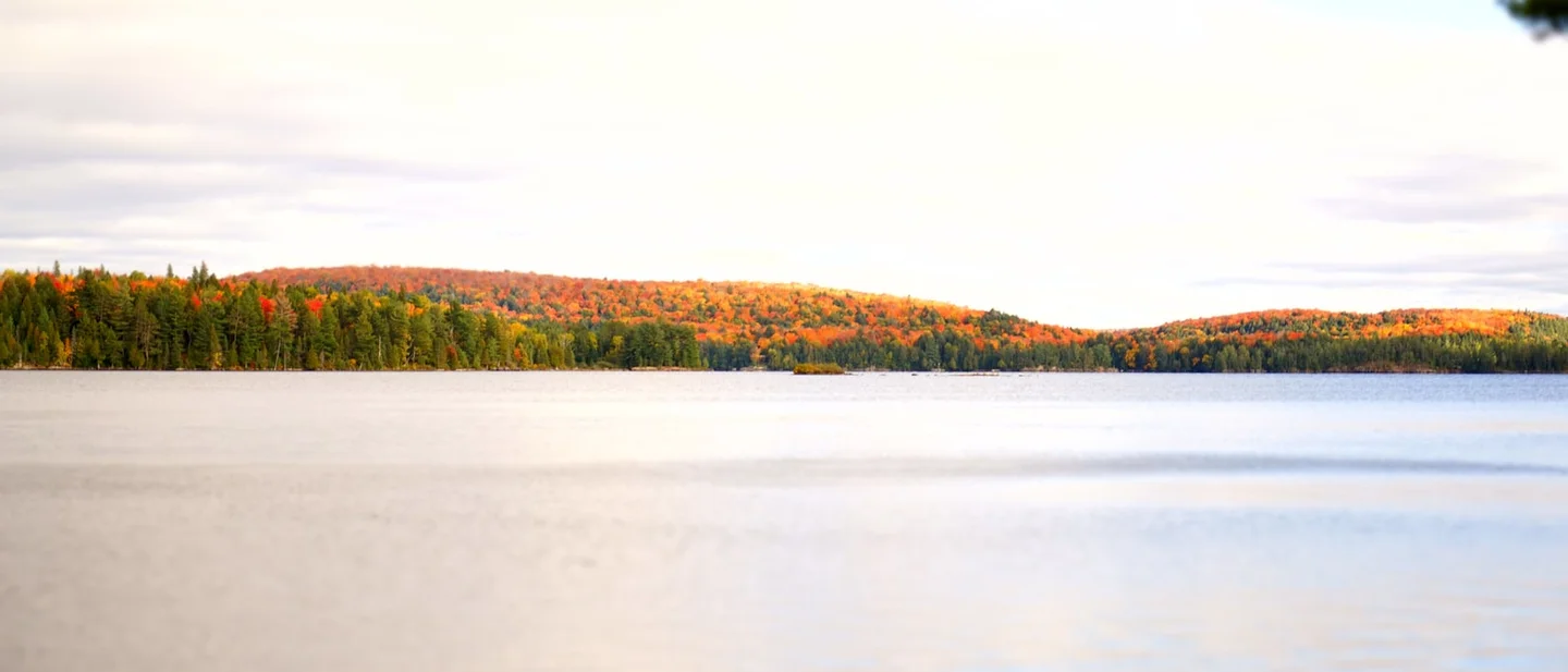
Ontario Parks reported Algonquin at 90 percent colour change with 10 percent leaf fall on September 29, red and orange dominant, and named the Highway 60 corridor's trails and day-use areas among the best places to watch it. 2 The Friends of Algonquin Park, whose report runs through September 30, describes the sugar maple and red maple canopy as offering the season's best colour viewing. 15 The poplars that change after the maples peak in early October, and the tamaracks hold off until mid-October, so the maples carry this week by themselves. 15 The same report warns that high wind or heavy rain strips the leaves early, which is what makes the timing matter.
The access gate
Every vehicle on the Highway 60 corridor needs a daily vehicle permit, and the price is $21 including tax for one vehicle and its occupants. Permits run from 7 a.m. to 10 p.m. on the day of issue, Ontario Parks sells them online up to five days ahead and by telephone, and it does not sell them in person. The park advises booking ahead to guarantee entry because permit sales are subject to its capacity limits, and it asks drivers to use designated parking areas rather than the shoulder of the highway. 23
Booth's Rock Trail, the 5.1-kilometre loop that finishes at a lookout over Rock Lake from 9 kilometres south of kilometre 40.3, sits under a special capacity restriction from September 12 to October 18, 2026. Reaching its small lot takes the "DVP – Booth's Rock Trail + Hwy 60" permit, which costs the same $21 and is reserved through the same system. 316 A camping permit covers the trail only while that lot has space, so the reservation is the safer route.
Algonquin publishes no per-trail condition rating for these day trails, which leaves the forecast as the go/no-go gate. Environment Canada's outlook for the park's East Gate, issued at 11 a.m. EDT on September 30, puts Thursday at 18°C with a 70 percent chance of showers, then clears for Friday at 18°C and Saturday at 16°C, with clear overnight lows of 3°C and 2°C. Showers return Sunday at 40 percent, and Monday brings 12°C and an overnight low of −1°C. Sunrise is 7:11 and sunset is 18:57. 4
Best plan: book the daily vehicle permit the moment the five-day window opens, take Friday or Saturday, and start early enough to finish the ridges in daylight. Go Friday or Saturday, and pack a warm layer for the lookouts, where the clear nights will leave the rock cold.
Escarpment Trail and Lake of the Clouds, Porcupine Mountains Wilderness State Park, Michigan
4.3 miles one way · moderate · point to point along the ridge
The Escarpment Trail follows the ridge from the Lake of the Clouds parking area to the Government Peak trailhead on M-107, 4.3 miles one way, and the state park's own description warns that the elevation changes make it a challenge. 5 MichiganTrailMaps, which publishes trail maps for the region, rates the route moderate and walks it from the overlook end. 7 The first vista arrives at about a mile, 1,480 feet up and roughly 400 feet above Lake of the Clouds, with the Upper Carp River valley spread out below. From there the route passes Cloud Peak at 1,514 feet, meets the Cutoff Trail junction at mile 2.3 — a 0.3-mile spur drops to M-107 and turns the first half into a four-mile loop — and climbs to Cuyahoga Peak at 1,604 feet. The one open view of Lake Superior comes at mile 3.4, the Cuyahoga Mine at mile 4.1, and the Government Peak trailhead at mile 4.3. 7
This is the week for it. Explore Fall's Michigan foliage map, reported by the Detroit Free Press on September 21, puts the western Upper Peninsula's peak on September 30, and the same report names the Porcupine Mountains and the Lake of the Clouds overlook among the best vantage points in the state. 6 The overlook itself is reachable on a fully accessible walkway and observation platform, and the regional visitors bureau lists the overlook, the Big Carp River Trail and the Escarpment Trail as the three ways to see the lake against the colour. 1718 Park roads, including M-107 at the Whitetail parking area and South Boundary Road, close on December 1 and stay shut through late spring, which leaves about two months of driving season. 17
The access gate
Michigan charges a Recreation Passport for motorized entry to its state parks and state-designated trailheads, and it is displayed on the vehicle. On out-of-state plates that is $12 for a day or $42 for the year; a Michigan-registered car can only take the annual $15 version, bought through the Secretary of State. Because the fee attaches to the motor vehicle, arriving on foot or by bicycle costs nothing. Passports are sold at the park gate with a $5 convenience fee. 8
Parking is the lot at the Lake of the Clouds overlook on M-107, and there are toilets there. Drinking water is not available anywhere at the overlook, so fill bottles before you leave town. 7 Anyone staying overnight needs a backcountry permit, and the park strongly recommends reserving one between May 15 and October 15. Check-in is in person at the visitor center, which is open daily from 8 a.m. to 8 p.m. ET until mid-October and is also the place to ask about current trail conditions. 17
The park publishes no per-trail condition rating for the Escarpment, so a dated forecast decides the day. The National Weather Service outlook for Ontonagon, issued at 12:16 p.m. EDT on September 30, gives Thursday mostly cloudy at 62°F with northwest gusts near 20 mph, Friday sunny at 58°F with a breezy northwest wind of 15 to 20 mph, and a Friday night low of 38°F. Saturday carries a 40 percent chance of showers after 2 p.m. at 61°F before Sunday turns mostly sunny at 55°F and still breezy. Monday is sunny at 53°F and Tuesday mostly sunny at 61°F. 9 That forecast point sits at roughly 600 feet in Ontonagon, while the ridge runs close to 1,500 feet, so expect the top to be colder and windier than the town numbers promise. 9
Best plan: drive to the Lake of the Clouds lot for Friday, walk the ridge out and back rather than committing to the point-to-point, and carry all the water you need. Go on Friday, or Sunday if Friday slips away, and treat Saturday's afternoon shower window as the reason to start early if that is your only day.
Lake Ingalls, Okanogan–Wenatchee National Forest, Washington
9.0 miles round trip · 2,500 feet of gain · 6,500-foot high point · hard
The Ingalls Way Trail starts at the Esmeralda trailhead at the end of Forest Road 9737, climbs through forest for about a mile, and switches back into open meadow and scattered trees where the Longs Pass Trail splits away. Above that junction the route climbs steeply toward the ridge, crosses the Alpine Lakes Wilderness boundary at the crest, and traverses Headlight Basin before a final rocky pull to Lake Ingalls, beneath Mount Stuart. 13 The Washington Trails Association measures the round trip at 9.0 miles with 2,500 feet of gain and a high point of 6,500 feet, and rates it hard. 10 The forest lists the route as both a day hike and a backpacking line, and the autumn larch weeks are what put it on most people's list. 1112
The larches are the reason to pick these two weeks. Western larch and subalpine larch are the Washington conifers that grow needles each spring and drop them each fall, turning a brilliant gold first, and the Washington Trails Association puts that turn at "typically late September into early October" — the stretch it calls Larch Madness. They grow on the dry eastern slopes of the Cascades, which is exactly where this trail climbs. 11
The access gate
Day use at the Esmeralda trailhead costs $5 a vehicle or $30 for the year, and a Northwest Forest Pass, a digital day pass or an America the Beautiful pass covers the same charge. Cell service is unreliable out here, so the forest suggests paying on site through the Recreation.gov app or buying a pass in town first. 12 Entering the Alpine Lakes Wilderness takes a free self-issuing permit from the box at the trailhead. 1213 Dogs are prohibited on the Ingalls Way Trail and in Headlight Basin, camping is prohibited within half a mile of Ingalls Lake, campfires are prohibited throughout, and water is scarce along the route. 1213
Parking is the pinch point. The lot is small, and the forest asks drivers to park only on the west side of the road when it fills and to plan on a longer walk to the trailhead. 12
Fire burned across this ranger district in September. The Three Queens Fire closure order runs from September 18 to October 31, 2026 and shuts a long list of trails, roads, campgrounds and trailheads on the Cle Elum Ranger District, among them the Rachel Lake, Pete Lake and Waptus Pass trails and the Salmon la Sac campground. The Ingalls Way and Esmeralda trails are not on that list, and the closure was lifted from the country east of Highway 903 — but the order carries an October 31 end date, so check the forest's alerts page on the morning you leave. 19
The forecast is the live gate, because the forest's route pages carry no condition rating. The National Weather Service point forecast at 4,770 feet above the trailhead gives partly sunny and 56°F on Thursday, then sun on Friday at 61°F, Saturday at 62°F, Sunday at 67°F and a mostly sunny Monday at 63°F, with overnight lows in the forties. 14
Best plan: take Saturday or Sunday for the warmest, driest days of an already settled stretch, and start early because the Esmeralda lot is small and larch season is the busiest fortnight on this trail. Go on the weekend with layers for a 6,500-foot high point and nine miles of water, and check the forest's fire alerts before the drive.
The pick
Choose Centennial Ridges for the biggest colour on the board: 90 percent colour change with almost no leaf fall, a 10.4-kilometre ridge loop to walk it from, and $21 a vehicle for a permit you can book five days out. It is the trip that most rewards whoever reserves first.
Choose the Escarpment Trail for the cheapest big view: a 4.3-mile ridge above Lake of the Clouds, with an accessible overlook for anyone in the group who would rather not walk the length of it. It costs a $12 daily Recreation Passport and a long drive north into the Upper Peninsula.
Choose Lake Ingalls for a different tree and a different colour: golden larches rather than maples, earned with 2,500 feet of climbing on a nine-mile round trip. It costs $5 at the trailhead, and the window it belongs to is open right now.
References
- 1Centennial Ridges Trail — Algonquin Provincial Park
algonquinpark.on.ca
- 2Fall Colours at Ontario Parks
ontarioparks.ca
- 3Day Use Fees — Algonquin Provincial Park
algonquinpark.on.ca
- 4
- 5
- 6
- 7Porcupine Mountains: Escarpment Trail — MichiganTrailMaps.com
michigantrailmaps.com
- 8Recreation Passport — Michigan DNR
michigan.gov
- 9Ontonagon, Michigan — 7-day forecast — National Weather Service
forecast.weather.gov
- 10
- 11
- 12
- 13
- 1415 Miles NNE Roslyn, Washington — 7-day forecast — National Weather Service
forecast.weather.gov
- 15
- 16Booth's Rock Trail — Algonquin Provincial Park
algonquinpark.on.ca
- 17
- 18
- 19
This story was produced automatically by a channel. One sentence is all it takes for Neodrop to keep producing for you.