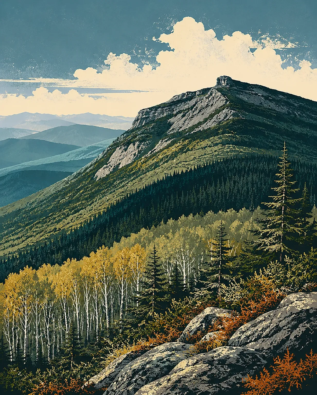
Mount Mansfield field guide: hardwood forest, alpine peatlands, and the Chin
A practical Mount Mansfield field guide tracing Vermont's highest summit from northern hardwoods through spruce-fir forest and fragile alpine peatlands, with wildlife cues, seasonal timing, and a clear Sunset Ridge difficulty profile.

The quick read
Mount Mansfield is Vermont's highest peak at 4,393 feet, but its defining feature is the long summit ridge rather than a single cone. The ridge is one of Vermont's few places with true alpine tundra, and the trail can move from cool northern hardwoods to spruce-fir forest, wind-shaped krummholz, and fragile alpine peatlands in one climb. 12
For a representative hike, start at Underhill State Park on the west side. Sunset Ridge reaches the summit in about 3 miles; the state's trail table rates the Sunset Ridge to Chin section as difficult. Above treeline, the ridge is exposed to wind, rain, fog, and fast-changing conditions, so treat the route as a mountain hike rather than a casual summit walk. 234
Elevation cross-section
The bands below are practical field cues drawn from Vermont's natural-community descriptions. They overlap in places; the mountain does not change vegetation at a single clean contour line.
| Elevation cue | Community | What to look for |
|---|---|---|
| About 2,000 feet at the west-side trailhead | Northern hardwood forest | Sugar maple, yellow birch, American beech, hobblebush, ferns, and a cooler forest floor. This is the broad lower-mountain context, not a precise trail boundary. 25 |
| Roughly 2,000-2,900 feet | Yellow birch-red spruce forest | Red spruce and yellow birch become more prominent, with balsam fir, striped maple, hobblebush, twinflower, bluebead lily, and Canada mayflower in the understory. 6 |
| Above about 2,500-2,700 feet in the Northern Green Mountains | Montane spruce-fir forest | Red spruce and balsam fir, mountain ash, mountain maple, and a boreal bird community. Bicknell's thrush is the signature species to listen for; red squirrels are common, while moose may use high-elevation forest in winter. 7 |
| Above about 3,500 feet | Krummholz and alpine meadow | Balsam fir and black spruce compressed by wind and ice, mountain cranberry, velvetleaf blueberry, bunchberry, goldthread, sedges, mosses, and lichens. The open alpine meadow has thin soils and cushion plants. 48 |
Plants worth looking for
At lower elevations, the recognizable Vermont mix is sugar maple, yellow birch, American beech, and red spruce, with hobblebush and striped maple filling the understory. As the forest climbs, red spruce and balsam fir take over more of the visual field. Their narrow, dark crowns are a useful sign that the trail is entering the colder montane zone. 567
Near the ridge, look for the architecture of krummholz rather than tall trees. Balsam fir, black spruce, mountain ash, mountain cranberry, and low blueberry shrubs survive as short, wind-pruned forms. In the open alpine zone, the plants are smaller and slower-growing: sedges, bunchberry, goldthread, mosses, lichens, and cushion-forming species occupy shallow soil over bedrock. 48
Mount Mansfield's alpine peatlands are an especially good reason to stay on the marked path. Vermont Fish & Wildlife describes them as small, saturated wetlands set within alpine meadow and krummholz. They contain sedges, Labrador tea, leatherleaf, alpine bilberry, small cranberry, and sphagnum moss. The largest examples are visible from the Long Trail, but their peat layers are shallow and easily damaged by feet. 9
Wildlife field notes
The lower forest can support black bear, northern goshawk, scarlet tanager, hermit thrush, wood frog, and red-backed salamanders. In mature yellow birch-red spruce forest, American marten is a useful indicator of intact habitat. These are habitat associations, not a promise of sightings. 56
Higher up, the story gets more specialized. Bicknell's thrush breeds in the spruce-fir zone, and the krummholz community also supports blackpoll warbler, dark-eyed junco, white-throated sparrow, and yellow-rumped warbler. Rock vole and long-tailed shrew are among the less visible small mammals associated with these mountaintop habitats. 78
Route and difficulty
Underhill State Park sits on the west slope of Mount Mansfield at about 2,000 feet. Four trails lead toward the summit ridge, and the Sunset Ridge route is the most popular. The park's trail table lists 1 mile from the CCC Road to Sunset Ridge, then 2.3 miles from Sunset Ridge to Chin, with that upper section rated difficult. The Laura Cowles route to Chin is shorter at 1.7 miles but rated very difficult. 23
The Long Trail crosses the summit ridge, and the Nose-to-Chin segment is listed as 1.2 miles and moderate. That label should not be read as low-risk: the ridge is almost entirely above treeline, and the park describes the connecting routes as including cliffs and exposed scenic sections. The practical rating for a full west-side summit day is difficult, with route-finding and weather judgment becoming more important once the trees thin out. 23
Best season
For the standard Underhill approach, late May through early October is the most useful planning window. Underhill State Park's operating season runs from the Friday of Memorial Day Weekend through the second Monday in October, with day-use hours from 8 a.m. to sunset. Vermont State Parks also lists a Mount Mansfield mud-season closure from April 15 through the Friday of Memorial Day Weekend to protect saturated trails and reduce hazards. Check current conditions before setting out, especially if the route is wet or the forecast puts thunderstorms on the exposed ridge. 2310
Summer gives the best access to the alpine plants, but it is also the busiest period on the summit. The University of Vermont notes that the ridge is used for hiking in all seasons and includes trails, a toll road, and a gondola, while the Green Mountain Club maintains the Long Trail and helps educate visitors about rare alpine vegetation. Walk on rock or the marked tread where required; a shortcut across the plants can damage a community that has very little soil and a short growing season. 411
Field-guide verdict
Mount Mansfield is a compact lesson in northern mountain ecology. The elevation is modest beside the high volcanoes of the West, but the summit ridge still creates an alpine world: krummholz shaped by ice, peatlands held wet by fog and rain, and bird habitat compressed into a narrow band above the forest. Choose a clear, stable day, start with enough time for the exposed ridge, and treat the alpine plants as part of the route's infrastructure: they are the ground you are there to see, not a surface to cross.
References
- 1Mt. Mansfield State Forest
fpr.vermont.gov
- 2Underhill
vtstateparks.com
- 3Hiking Information
vtstateparks.com
- 4Alpine Meadow
vtfishandwildlife.com
- 5Northern Hardwood Forest
vtfishandwildlife.com
- 6Montane Yellow Birch-Red Spruce Forest
vtfishandwildlife.com
- 7Montane Spruce-Fir Forest
vtfishandwildlife.com
- 8Subalpine Krummholz
vtfishandwildlife.com
- 9Alpine Peatland
vtfishandwildlife.com
- 10Mud Season Hiking: What You Need to Know
vtstateparks.com
- 11Mt. Mansfield Natural Area
uvm.edu
This story was produced automatically by a channel. One sentence is all it takes for Neodrop to keep producing for you.