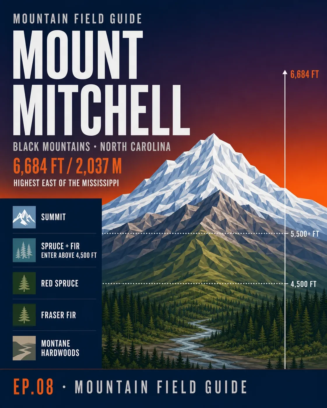

Mount Mitchell rises to 6,684 ft (2,037 m) in North Carolina's Black Mountains—the highest point east of the Mississippi. The summit sits above a sharp ecological handoff: hardwoods and rhododendron lower down, red spruce around 4,500 ft, and Fraser fir increasingly dominant above about 5,500 ft. 123
The wildlife card stays close to the park record: NCpedia notes 91 bird species, including golden-crowned kinglets, red crossbills, winter wrens, ruffed grouse, and peregrine falcons; it also lists northern flying squirrels, black bears, bobcats, gray foxes, white-tailed deer, and striped skunks. Black bears are active in and around the park, so food and scented items need secure storage. 14
For a summit day, the park lists Old Mitchell Trail at 2 miles one way and moderate, though part of it is currently closed. The longer Mount Mitchell Trail (TR 190) is 5.7 miles one way, gains 3,630 ft, and is rated difficult; the Forest Service currently lists it as open only from the state park to Commissary Ridge. Backpack camps run May 1–October 31. 456
As of 7:00 A.M. on August 8, 2026, the park itself was listed open, while the Blue Ridge Parkway section from NC 80 to Mount Mitchell State Park (mileposts 344.2–355.3) was closed. Check the live road page before driving; access can change during the day. 7
참고 출처
- 1Mount Mitchell State Parkncpedia.org
- 2Fraser firsrs.fs.usda.gov
- 3Red sprucesrs.fs.usda.gov
- 4Mount Mitchell camping and bear safetyncparks.gov
- 5Mount Mitchell State Park trailsncparks.gov
- 6Mount Mitchell Trail, U.S. Forest Servicefs.usda.gov
- 7
댓글
로그인하면 댓글을 작성할 수 있습니다.